Transport Functions
Rail
Road
Hub Profile
Place type
Provincial seat
Region
Ñuble
Population
31,517
Time zone
America/Santiago
Elevation
186 m
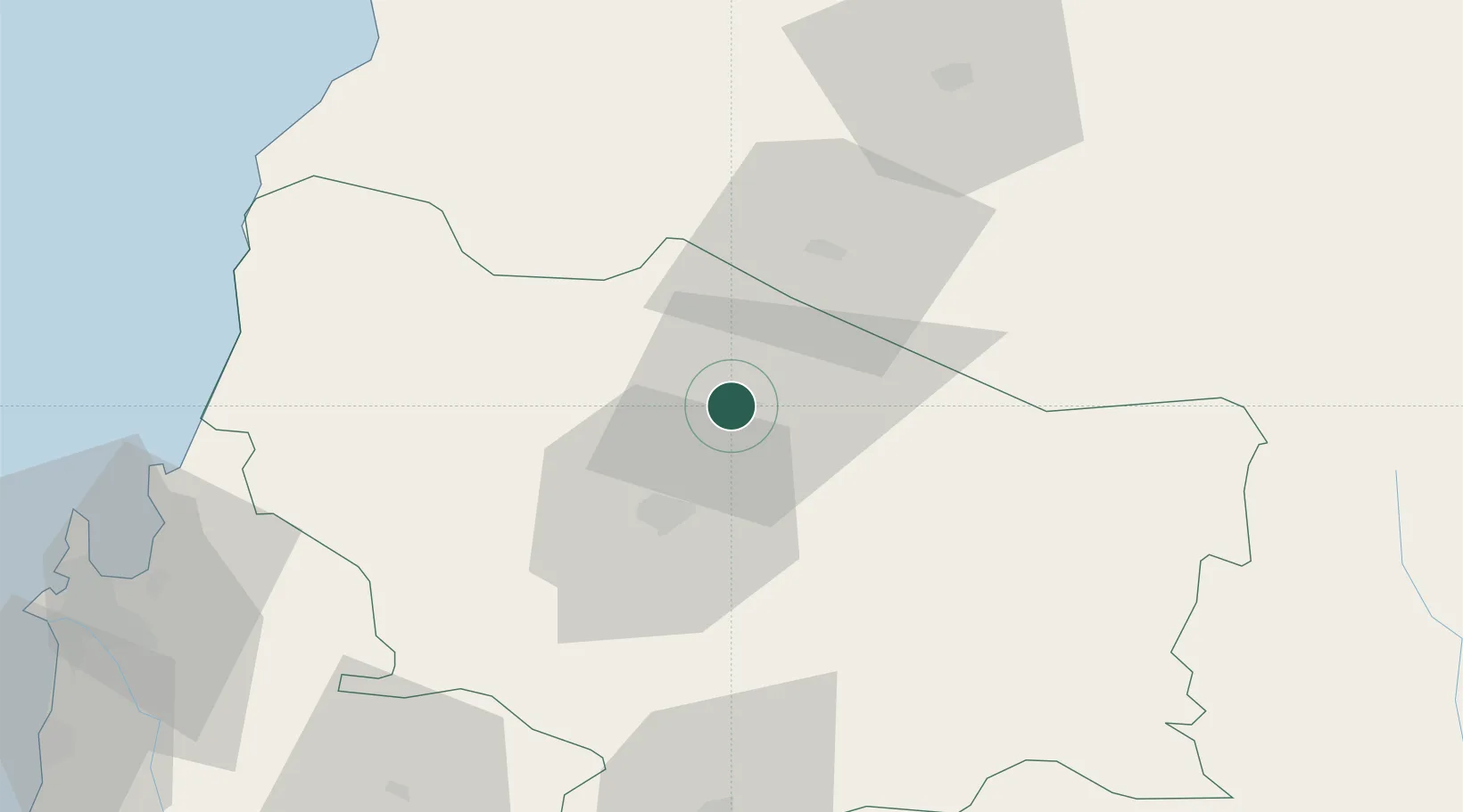
Location
Nearby Logistics Neighbours
Cities
- 1Ñiquén22 km
- 2Chillán24 km
- 3Nueva Aldea50 km
- 4Linares71 km
- 5Cabrero79 km
Ports
- 1Lirquen97 km
- 2Penco98 km
- 3Talcahuano106 km
- 4Bahia San Vicente113 km
- 5Coronel127 km
Airports
- 1Gral. Bernardo O´Higgins Airport19 km
- 2Carriel Sur International Airport106 km
- 3Panguilemo Airport120 km
- 4Victoria Airport206 km
- 5Comodoro D.R. Salomón Airport239 km
Trade Zones
DatabookThe Record of Consolidated Knowledge
Chile beyond logistics?