Transport Functions
Port
Rail
Road
Hub Profile
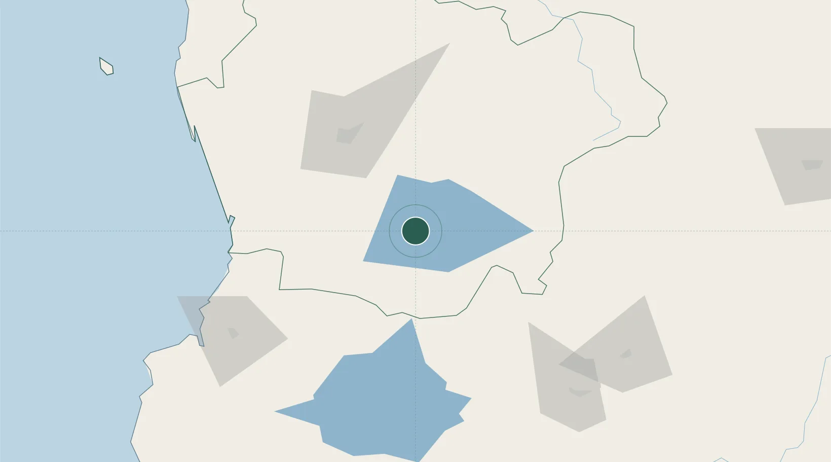
Place type
Populated place
Region
Araucanía
Population
49,184
Time zone
America/Santiago
Elevation
232 m
Location
Nearby Logistics Neighbours
Cities
- 1Cunco42 km
- 2Gorbea44 km
- 3Loncoche46 km
- 4Pitrufquén49 km
- 5Freire50 km
Ports
- 1Bahia De Valdivia107 km
- 2Puerto De Corral124 km
- 3Lota254 km
- 4Puerto Montt255 km
- 5Coronel262 km
Airports
- 1Pucón Airport26 km
- 2La Araucanía International Airport53 km
- 3Maquehue Airport66 km
- 4Pichoy Airport86 km
- 5Las Marías Airport106 km
Trade Zones
DatabookThe Record of Consolidated Knowledge
Chile beyond logistics?