Transport Functions
Rail
Road
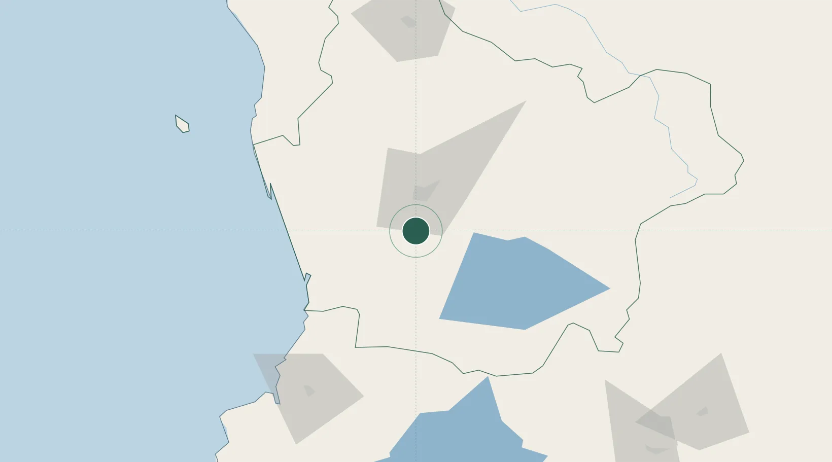
Hub Profile
Place type
Populated place
Region
Araucanía
Population
22,390
Time zone
America/Santiago
Elevation
108 m
Location
Nearby Logistics Neighbours
Cities
- 1Pitrufquén4 km
- 2Gorbea17 km
- 3Padre Las Casas21 km
- 4Temuco27 km
- 5Teodoro Schmidt36 km
Ports
- 1Bahia De Valdivia108 km
- 2Puerto De Corral123 km
- 3Lota211 km
- 4Coronel218 km
- 5Lirquen250 km
Airports
- 1La Araucanía International Airport3 km
- 2Maquehue Airport20 km
- 3Pucón Airport73 km
- 4Victoria Airport82 km
- 5Pichoy Airport87 km
Trade Zones
DatabookThe Record of Consolidated Knowledge
Chile beyond logistics?