Seaport · Chile
Puerto MonttCLPMC
-41.4833°, -72.9667°
23.2 m
Channel depth
11.1
Port liner connectivity
Channel & Berth Profile
Pilotage, Tugs & Services
Pilotage compulsoryYES
Pilotage availableYES
Tug assistanceYES
Potable waterYES
Diesel bunkersYES
MedicalYES
Garbage disposalYES
Facilities & Capabilities
Container—
Ro-Ro—
Liquid bulk—
Dry bulk—
Oil terminal—
Break bulk—
Dry dock—
RepairsNO
BunkeringYES
Rail linkYES
Dangerous cargo—
ISPS security—
Harbour Specifications
Harbour size
Small
Harbour type
Coastal (Natural)
Shelter
Fair
Water body
South Pacific Ocean
Tidal range
6 m
Overhead limit
Yes
Pilotage
Yes
Liner Connectivity
11.1
PLSCI
Port Liner Shipping Connectivity Index for Puerto Montt, as published by UNCTAD for the latest available quarter. Higher values indicate stronger scheduled liner-shipping integration.
Shown relative to the highest per-port PLSCI in the dataset (1,657.9).
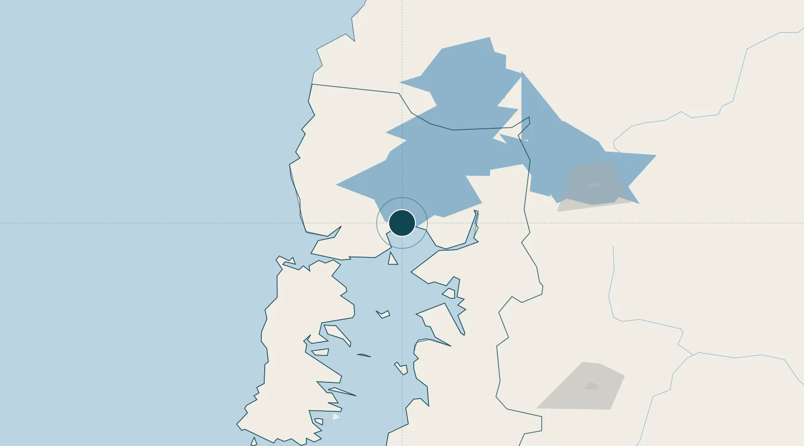
Location
Nearby Logistics Neighbours
Ports
- 1Puerto Quemchi86 km
- 2Puerto Castro129 km
- 3Puerto De Corral184 km
- 4Bahia De Valdivia189 km
- 5Puerto Chacabuco443 km
Cities
- 1Puerto Varas19 km
- 2Llanquihue26 km
- 3Calbuco33 km
- 4Los Muermos44 km
- 5Pargua52 km
Airports
- 1El Tepual International Airport12 km
- 2Cañal Bajo Carlos Hott Siebert Airport97 km
- 3Mocopulli Airport114 km
- 4El Bolsón Airfield130 km
- 5Nuevo Chaitén Airport145 km
Trade Zones
DatabookThe Record of Consolidated Knowledge
Chile beyond logistics?