Transport Functions
Rail
Road
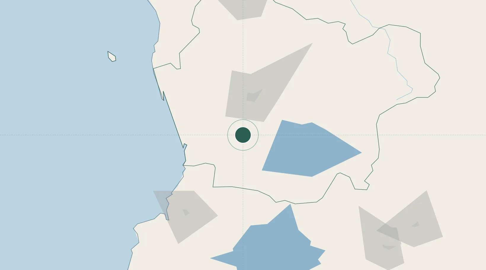
Hub Profile
Place type
Populated place
Region
Araucanía
Population
14,414
Time zone
America/Santiago
Elevation
96 m
Location
Nearby Logistics Neighbours
Cities
- 1Pitrufquén13 km
- 2Freire17 km
- 3Loncoche32 km
- 4Teodoro Schmidt35 km
- 5Padre Las Casas38 km
Ports
- 1Bahia De Valdivia92 km
- 2Puerto De Corral107 km
- 3Lota226 km
- 4Coronel234 km
- 5Puerto Montt266 km
Airports
- 1La Araucanía International Airport20 km
- 2Maquehue Airport37 km
- 3Pucón Airport70 km
- 4Pichoy Airport70 km
- 5Las Marías Airport91 km
Trade Zones
DatabookThe Record of Consolidated Knowledge
Chile beyond logistics?