Transport Functions
Rail
Road
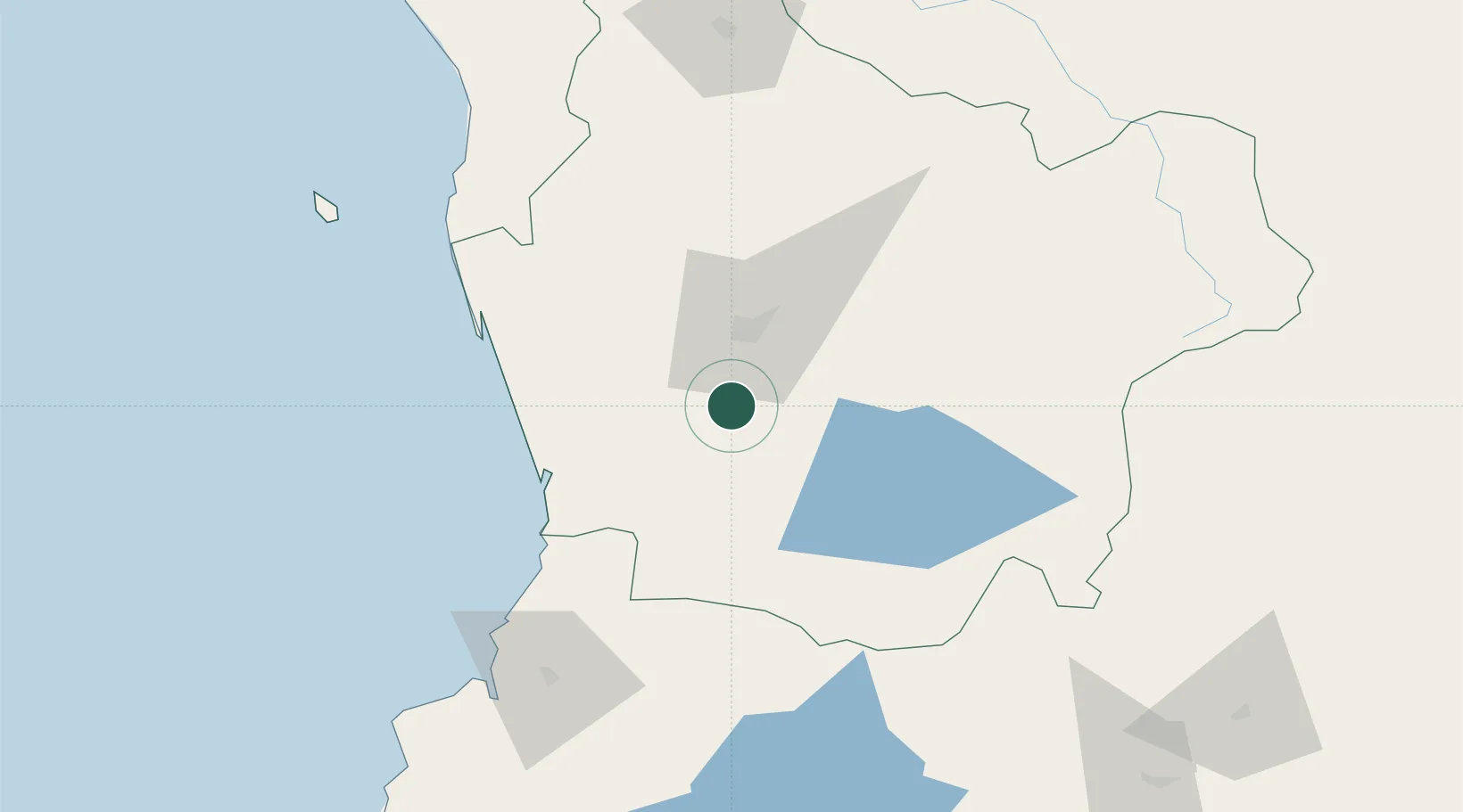
Hub Profile
Place type
Populated place
Region
Araucanía
Population
21,981
Time zone
America/Santiago
Elevation
99 m
Location
Nearby Logistics Neighbours
Cities
- 1Freire4 km
- 2Gorbea13 km
- 3Padre Las Casas25 km
- 4Temuco31 km
- 5Teodoro Schmidt35 km
Ports
- 1Bahia De Valdivia104 km
- 2Puerto De Corral119 km
- 3Lota214 km
- 4Coronel222 km
- 5Lirquen254 km
Airports
- 1La Araucanía International Airport6 km
- 2Maquehue Airport24 km
- 3Pucón Airport72 km
- 4Pichoy Airport83 km
- 5Victoria Airport86 km
Trade Zones
DatabookThe Record of Consolidated Knowledge
Chile beyond logistics?