Small airport · Chile

Las Marías AirportSCVL
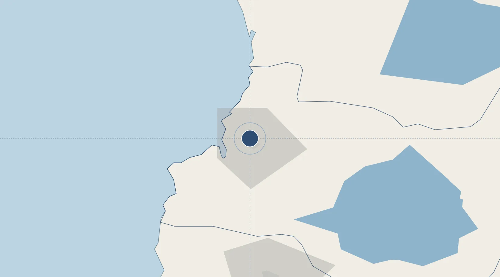
-39.7969°, -73.2417°
4,101 ft
Longest runway
1
Runways
13 ft
Elevation

Runway & Layout

Las Marías Airport runway & taxiway layout
Runway & taxiway layout — OpenStreetMap (ODbL) / OurAirports

Radio Frequencies

INFO
126.7 MHz
VALDIVIA INFO
OurAirports

Runways · 1

RunwayDimensions SurfaceTrue headingLit
17L/35R 4,101 × 54ft Concrete 183°
OurAirports

Airport Specifications

ICAO code
SCVL
OurAirports
Airport class
Small airport
OurAirports
Scheduled service
Yes
OurAirports
Runway surface
Concrete
OurAirports
Served city
Valdivia
OurAirports

Location

Location of SCVL
Natural Earth 10m (public domain) · Los Ríos · SCVL · -39.80, -73.24GoogleOSMYandex

Nearby Logistics Neighbours

Airports
  1. 1Pichoy Airport21 km
  2. 2Cañal Bajo Carlos Hott Siebert Airport92 km
  3. 3La Araucanía International Airport109 km
  4. 4Maquehue Airport126 km
  5. 5Pucón Airport127 km
Nearest neighbours — logibook spatial index (haversine) over the source coordinates
Cities
  1. 1Valdivia3 km
  2. 2Niebla14 km
  3. 3Corral18 km
  4. 4Máfil30 km
  5. 5Los Lagos35 km
Nearest neighbours — logibook spatial index (haversine) over the source coordinates
Ports
  1. 1Bahia De Valdivia1 km
  2. 2Puerto De Corral18 km
  3. 3Puerto Montt189 km
  4. 4Puerto Quemchi262 km
  5. 5Lota300 km
Nearest neighbours — logibook spatial index (haversine) over the source coordinates
Trade Zones
  1. 1Zona Franca Zapala (Zapala Free Trade Zone)288 km
  2. 2Comodoro Free Trade Zone820 km
  3. 3Comodoro Free Trade Zone Zona Franca Chubut821 km
  4. 4Zona Franca Mendoza Free Trade Zone840 km
  5. 5La Zona Franca Santa Cruz (ZFSC) - Caleta Olivia875 km
Nearest neighbours — logibook spatial index (haversine) over the source coordinates
DatabookThe Record of Consolidated Knowledge
Chile beyond logistics?
Browse databook

All Sources

AirportsOurAirports
Public domain
Portsthe NGA World Port Index
Public domain (US gov)
LocationsUN/LOCODE
UN/LOCODE — free
Trade Zonesthe World Bank SEZ database
CC BY 4.0
Trade ZonesOpen Zone Map
CC BY
InfrastructureOpenStreetMap
ODbL 1.0
← Chile airports