Transport Functions
Rail
Road
Hub Profile
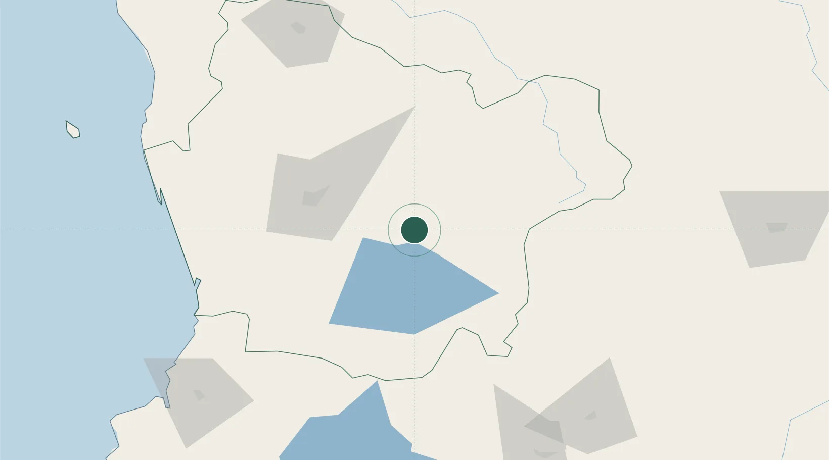
Place type
Populated place
Region
Araucanía
Population
15,628
Time zone
America/Santiago
Elevation
369 m
Location
Nearby Logistics Neighbours
Cities
- 1Vilcún34 km
- 2Villarrica42 km
- 3Temuco51 km
- 4Padre Las Casas52 km
- 5Freire52 km
Ports
- 1Bahia De Valdivia144 km
- 2Puerto De Corral160 km
- 3Lota224 km
- 4Coronel232 km
- 5Lirquen259 km
Airports
- 1Pucón Airport43 km
- 2La Araucanía International Airport54 km
- 3Maquehue Airport55 km
- 4Victoria Airport80 km
- 5Pichoy Airport122 km
Trade Zones
DatabookThe Record of Consolidated Knowledge
Chile beyond logistics?