Transport Functions
Rail
Road
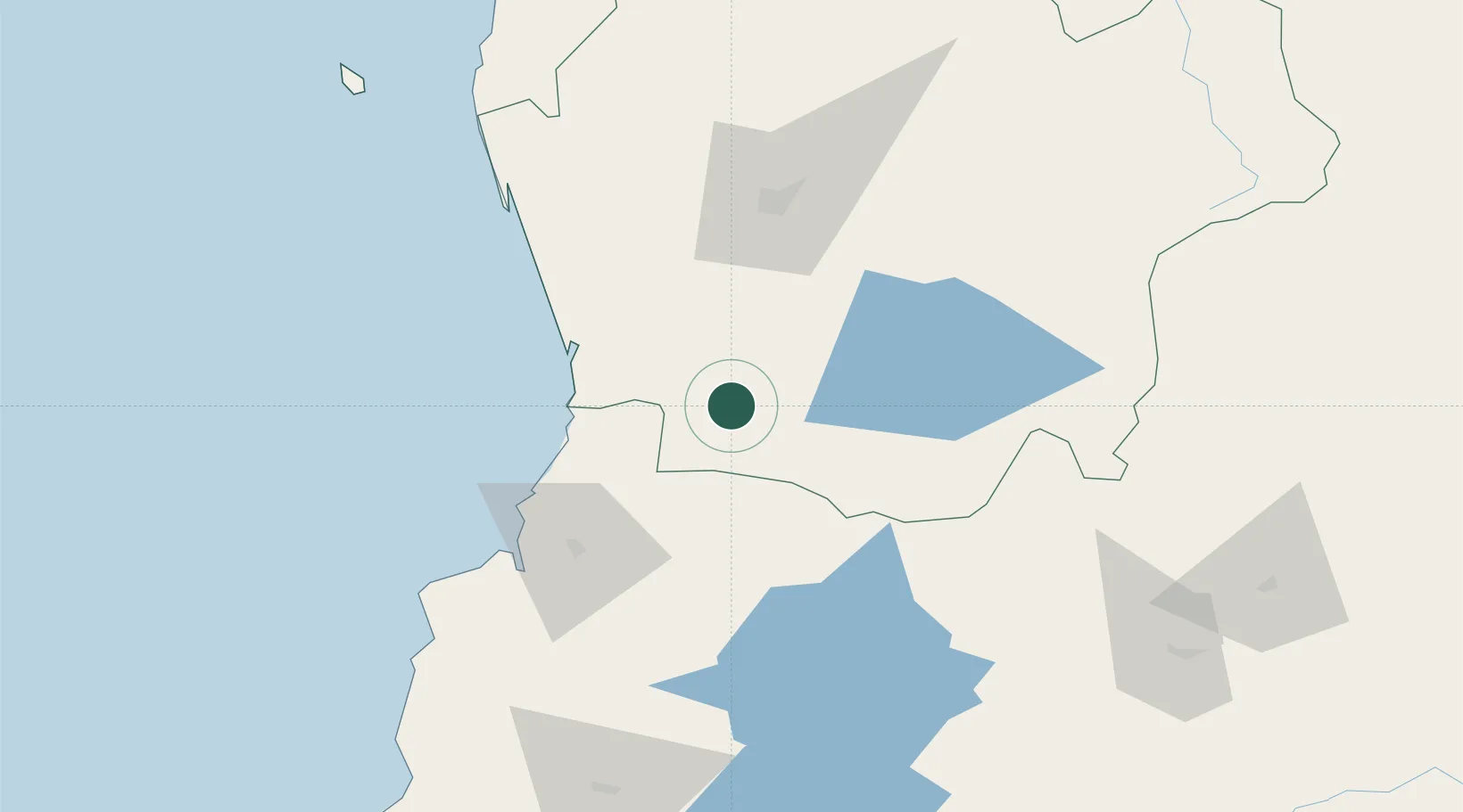
Hub Profile
Place type
Populated place
Region
Araucanía
Population
21,458
Time zone
America/Santiago
Elevation
114 m
Location
Nearby Logistics Neighbours
Cities
- 1Lanco9 km
- 2Gorbea32 km
- 3Máfil35 km
- 4Pitrufquén45 km
- 5Villarrica46 km
Ports
- 1Bahia De Valdivia64 km
- 2Puerto De Corral81 km
- 3Puerto Montt234 km
- 4Lota257 km
- 5Coronel264 km
Airports
- 1Pichoy Airport42 km
- 2La Araucanía International Airport51 km
- 3Las Marías Airport63 km
- 4Maquehue Airport69 km
- 5Pucón Airport71 km
Trade Zones
DatabookThe Record of Consolidated Knowledge
Chile beyond logistics?