Transport Functions
Rail
Road
Airport
Hub Profile
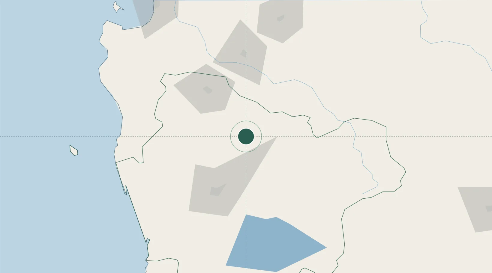
Place type
Populated place
Region
Araucanía
Population
32,448
Time zone
America/Santiago
Elevation
355 m
Location
Nearby Logistics Neighbours
Cities
- 1Perquenco21 km
- 2Ercilla21 km
- 3Traiguén32 km
- 4Collipulli33 km
- 5Lautaro34 km
Ports
- 1Lota146 km
- 2Coronel153 km
- 3Lirquen179 km
- 4Penco179 km
- 5Bahia San Vicente183 km
Airports
- 1Victoria Airport3 km
- 2Maquehue Airport66 km
- 3La Araucanía International Airport82 km
- 4Pucón Airport123 km
- 5Pichoy Airport171 km
Trade Zones
DatabookThe Record of Consolidated Knowledge
Chile beyond logistics?