Transport Functions
Rail
Road
Hub Profile
Place type
Populated place
Region
Araucanía
Time zone
America/Santiago
Elevation
304 m
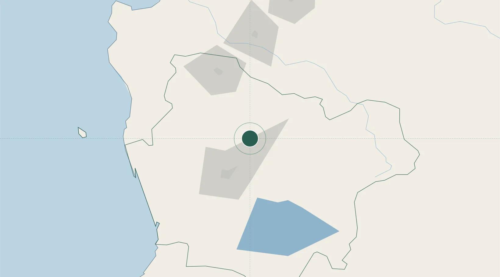
Location
Nearby Logistics Neighbours
Ports
- 1Lota161 km
- 2Coronel169 km
- 3Bahia De Valdivia171 km
- 4Puerto De Corral185 km
- 5Lirquen196 km
Airports
- 1Victoria Airport19 km
- 2Maquehue Airport45 km
- 3La Araucanía International Airport61 km
- 4Pucón Airport106 km
- 5Pichoy Airport150 km
Trade Zones
DatabookThe Record of Consolidated Knowledge
Chile beyond logistics?