Medium airport · Argentina

Comodoro D.R. Salomón AirportSAMM
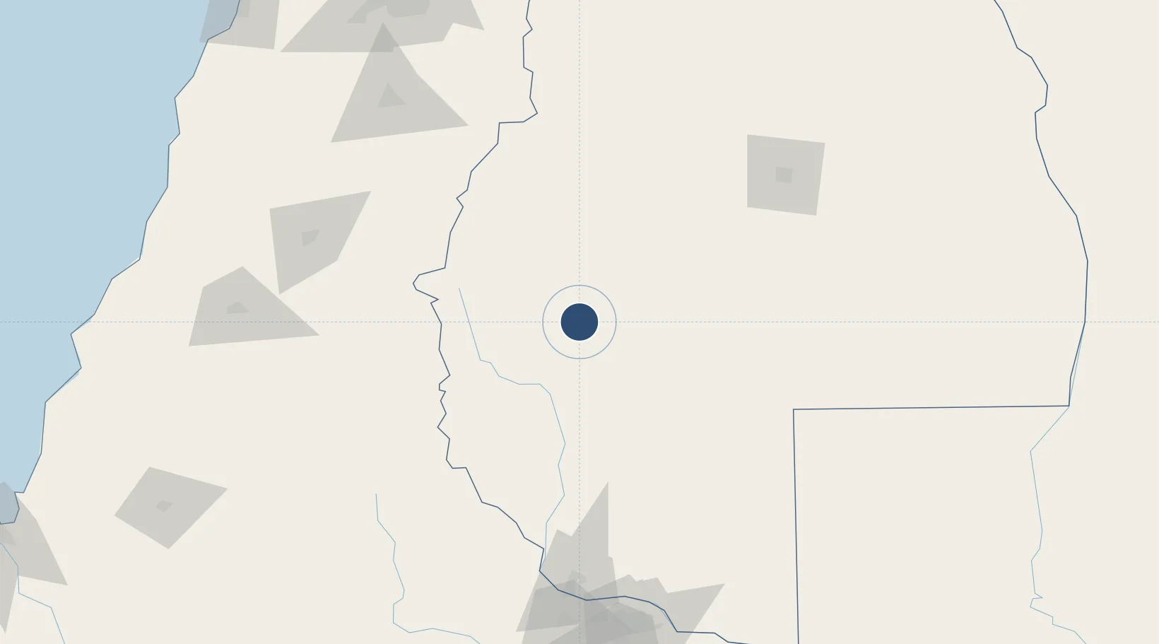
-35.4936°, -69.5743°
8,694 ft
Longest runway
2
Runways
4,685 ft
Elevation

Runway & Layout

Comodoro D.R. Salomón Airport runway & taxiway layout
Runway & taxiway layout — OpenStreetMap (ODbL) / OurAirports

Radio Frequencies

APP
118.25 MHz
APP/TWR
OurAirports

Navaids

MLG VOR-DME Malargue 117.20 MHz
OurAirports

Runways · 2

RunwayDimensions SurfaceTrue headingLit
14/32 8,694 × 98ft Asphalt 144°
9/27 4,757 × 66ft Asphalt 096°
OurAirports

Airport Specifications

IATA code
LGS
OurAirports
ICAO code
SAMM
OurAirports
Airport class
Medium airport
OurAirports
Scheduled service
No
OurAirports
Runway surface
Asphalt
OurAirports
Served city
Malargue
OurAirports

Location

Location of SAMM
Natural Earth 10m (public domain) · Mendoza · SAMM · -35.49, -69.57GoogleOSMYandex

Nearby Logistics Neighbours

Airports
  1. 1Suboficial Ay Santiago Germano Airport147 km
  2. 2La Independencia Airport183 km
  3. 3Panguilemo Airport184 km
  4. 4Rincon De Los Sauces Airport219 km
  5. 5Gral. Bernardo O´Higgins Airport252 km
Nearest neighbours — logibook spatial index (haversine) over the source coordinates
Cities
  1. 1Las Paredes144 km
  2. 2Cuadro Nacional153 km
  3. 3Molina161 km
  4. 4Curicó162 km
  5. 5San Fernando162 km
Nearest neighbours — logibook spatial index (haversine) over the source coordinates
Ports
  1. 1Puerto San Antonio283 km
  2. 2Bahia De Valparaiso332 km
  3. 3Lirquen335 km
  4. 4Penco336 km
  5. 5Talcahuano344 km
Nearest neighbours — logibook spatial index (haversine) over the source coordinates
Trade Zones
  1. 1Zona Franca Mendoza Free Trade Zone276 km
  2. 2Zona Franca Zapala (Zapala Free Trade Zone)379 km
  3. 3Zona Franca de San Luis442 km
  4. 4Justo Daract Free Trade Zone442 km
  5. 5General Pico Free Zone524 km
Nearest neighbours — logibook spatial index (haversine) over the source coordinates
DatabookThe Record of Consolidated Knowledge
Argentina beyond logistics?
Browse databook

All Sources

AirportsOurAirports
Public domain
Portsthe NGA World Port Index
Public domain (US gov)
LocationsUN/LOCODE
UN/LOCODE — free
Trade Zonesthe World Bank SEZ database
CC BY 4.0
Trade ZonesOpen Zone Map
CC BY
InfrastructureOpenStreetMap
ODbL 1.0
← Argentina airports