Transport Functions
Port
Road
Hub Profile
Place type
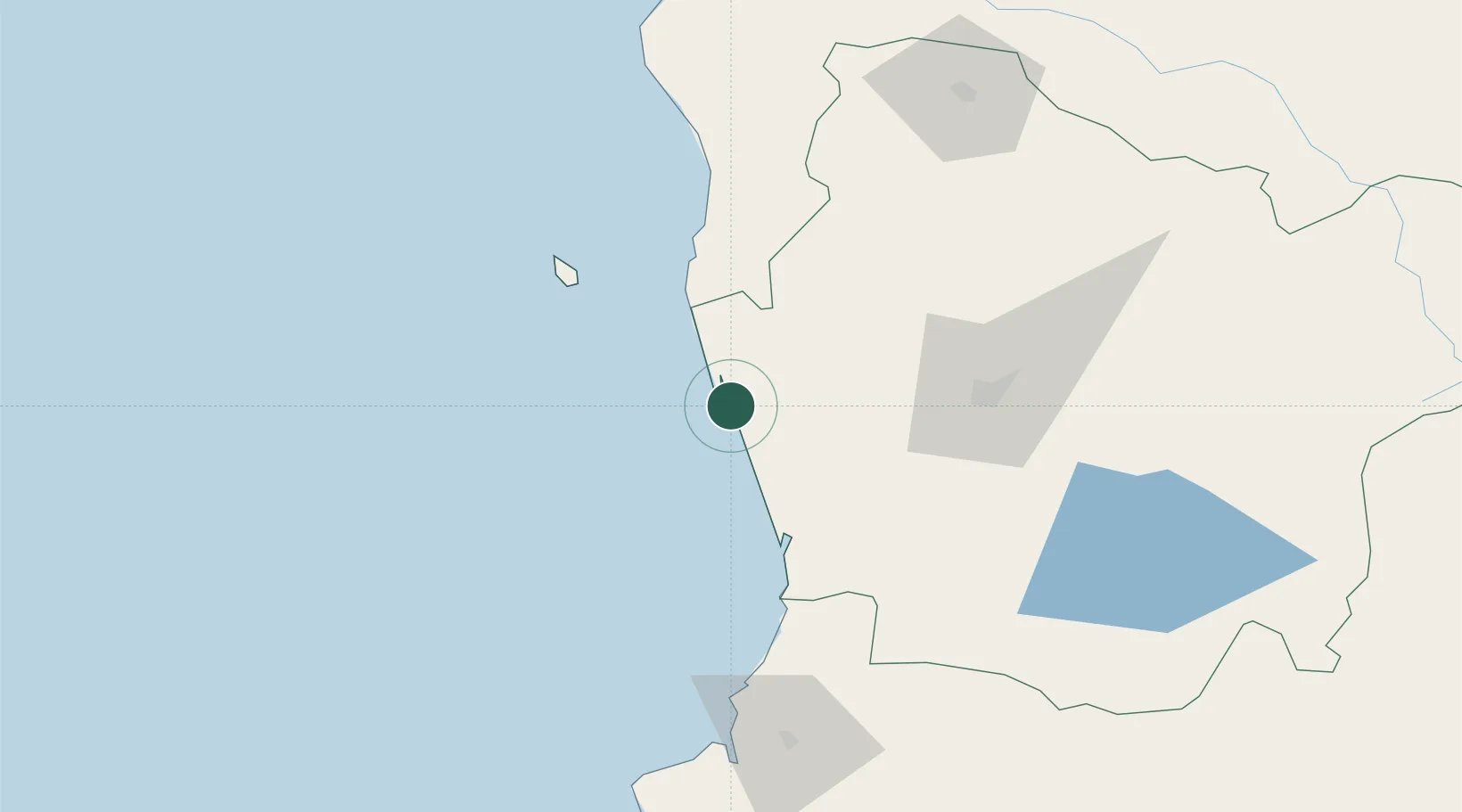
Populated place
Region
Araucanía
Population
11,384
Time zone
America/Santiago
Elevation
5 m
Location
Nearby Logistics Neighbours
Cities
- 1Carahue22 km
- 2Teodoro Schmidt37 km
- 3Nueva Imperial39 km
- 4Toltén50 km
- 5Galvarino69 km
Ports
- 1Bahia De Valdivia114 km
- 2Puerto De Corral121 km
- 3Lota189 km
- 4Coronel196 km
- 5Bahia San Vicente229 km
Airports
- 1Maquehue Airport66 km
- 2La Araucanía International Airport67 km
- 3Pichoy Airport100 km
- 4Victoria Airport109 km
- 5Las Marías Airport114 km
Trade Zones
DatabookThe Record of Consolidated Knowledge
Chile beyond logistics?