Transport Functions
Rail
Road
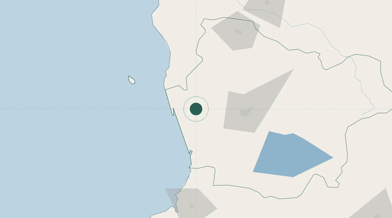
Hub Profile
Place type
Populated place
Region
Araucanía
Population
24,377
Time zone
America/Santiago
Elevation
41 m
Location
Nearby Logistics Neighbours
Cities
- 1Nueva Imperial19 km
- 2Saavedra22 km
- 3Teodoro Schmidt31 km
- 4Galvarino47 km
- 5Padre Las Casas50 km
Ports
- 1Bahia De Valdivia123 km
- 2Puerto De Corral132 km
- 3Lota178 km
- 4Coronel185 km
- 5Bahia San Vicente219 km
Airports
- 1Maquehue Airport47 km
- 2La Araucanía International Airport51 km
- 3Victoria Airport87 km
- 4Pichoy Airport106 km
- 5Las Marías Airport122 km
Trade Zones
DatabookThe Record of Consolidated Knowledge
Chile beyond logistics?