UN/LOCODE hub · Chile
CLNIM
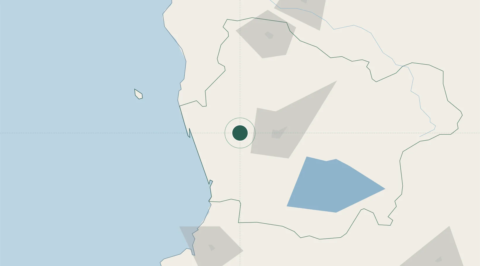
Nueva Imperial
-38.7333°, -72.9500°
29,366
Population
2
Transport functions
Transport Functions
Rail
Road
Hub Profile
Place type
Populated place
Region
Araucanía
Population
29,366
Time zone
America/Santiago
Elevation
29 m
Location
Nearby Logistics Neighbours
Cities
- 1Carahue19 km
- 2Teodoro Schmidt27 km
- 3Padre Las Casas31 km
- 4Temuco33 km
- 5Freire37 km
Ports
- 1Bahia De Valdivia121 km
- 2Puerto De Corral133 km
- 3Lota183 km
- 4Coronel190 km
- 5Bahia San Vicente223 km
Airports
- 1Maquehue Airport27 km
- 2La Araucanía International Airport34 km
- 3Victoria Airport75 km
- 4Pichoy Airport103 km
- 5Pucón Airport109 km
Trade Zones
DatabookThe Record of Consolidated Knowledge
Chile beyond logistics?