UN/LOCODE hub · Chile
CLTEO
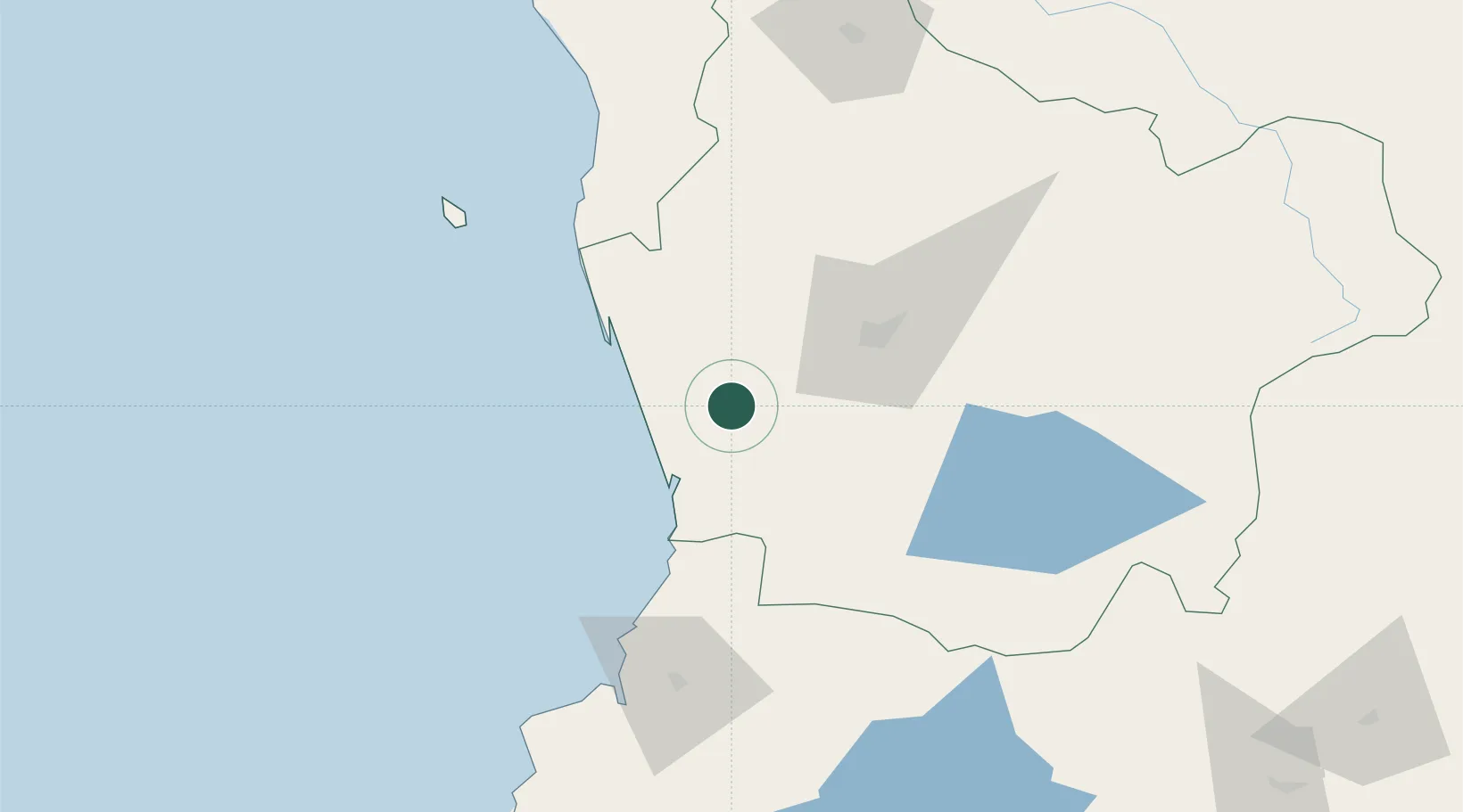
Teodoro Schmidt
-38.9667°, -73.0500°
15,504
Population
2
Transport functions
Transport Functions
Rail
Road
Hub Profile
Place type
Populated place
Region
Araucanía
Population
15,504
Time zone
America/Santiago
Elevation
33 m
Location
Nearby Logistics Neighbours
Cities
- 1Nueva Imperial27 km
- 2Carahue31 km
- 3Toltén32 km
- 4Pitrufquén35 km
- 5Gorbea35 km
Ports
- 1Bahia De Valdivia94 km
- 2Puerto De Corral105 km
- 3Lota208 km
- 4Coronel215 km
- 5Bahia San Vicente249 km
Airports
- 1La Araucanía International Airport35 km
- 2Maquehue Airport42 km
- 3Pichoy Airport76 km
- 4Las Marías Airport94 km
- 5Victoria Airport101 km
Trade Zones
DatabookThe Record of Consolidated Knowledge
Chile beyond logistics?