Transport Functions
Rail
Road
Hub Profile
Place type
Populated place
Region
Araucanía
Time zone
America/Santiago
Elevation
7 m
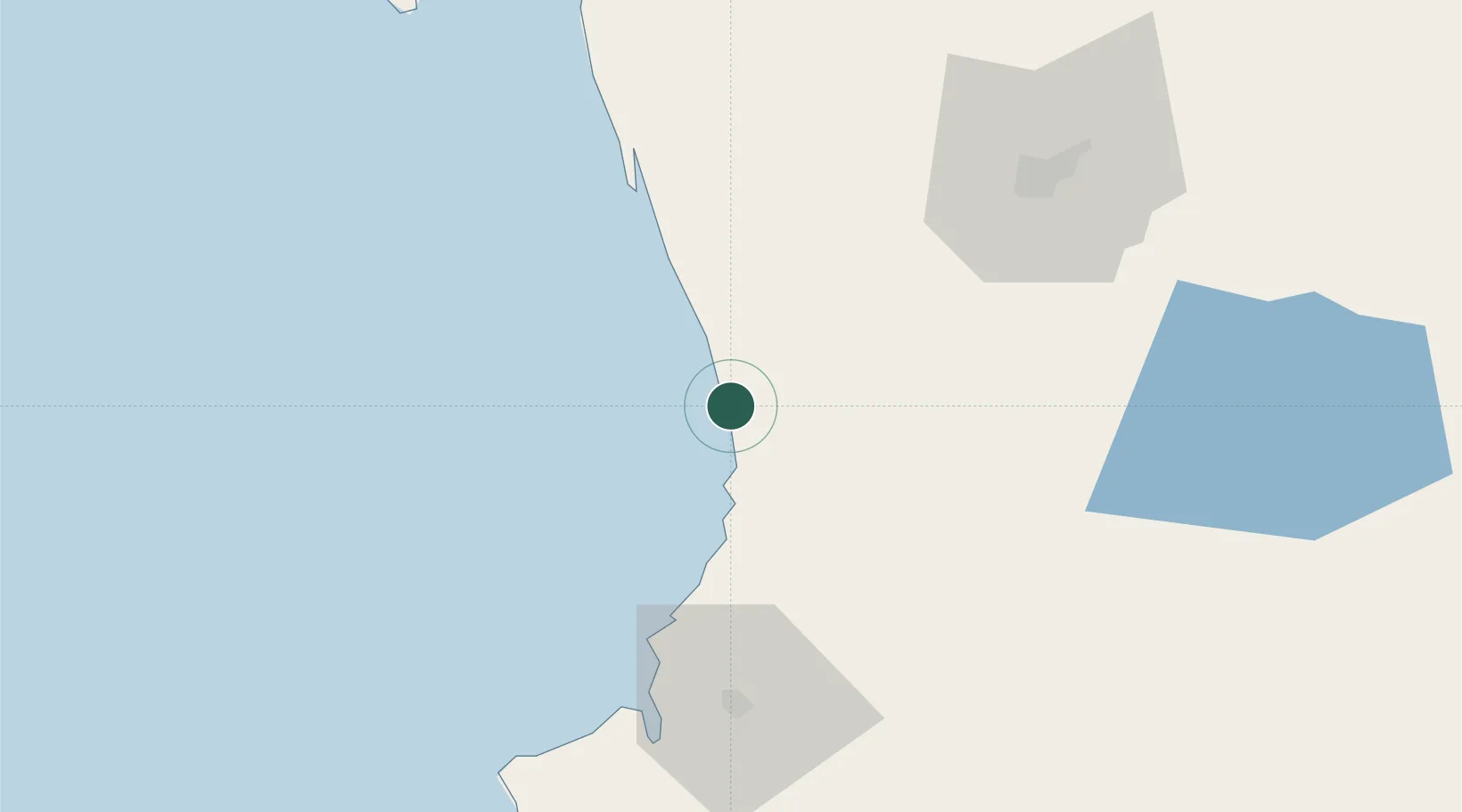
Location
Nearby Logistics Neighbours
Cities
- 1Teodoro Schmidt32 km
- 2Lanco47 km
- 3Loncoche47 km
- 4Gorbea49 km
- 5Saavedra50 km
Ports
- 1Bahia De Valdivia65 km
- 2Puerto De Corral74 km
- 3Lota236 km
- 4Coronel243 km
- 5Puerto Montt253 km
Airports
- 1Pichoy Airport50 km
- 2La Araucanía International Airport60 km
- 3Las Marías Airport65 km
- 4Maquehue Airport72 km
- 5Pucón Airport114 km
Trade Zones
DatabookThe Record of Consolidated Knowledge
Chile beyond logistics?