Transport Functions
Rail
Road
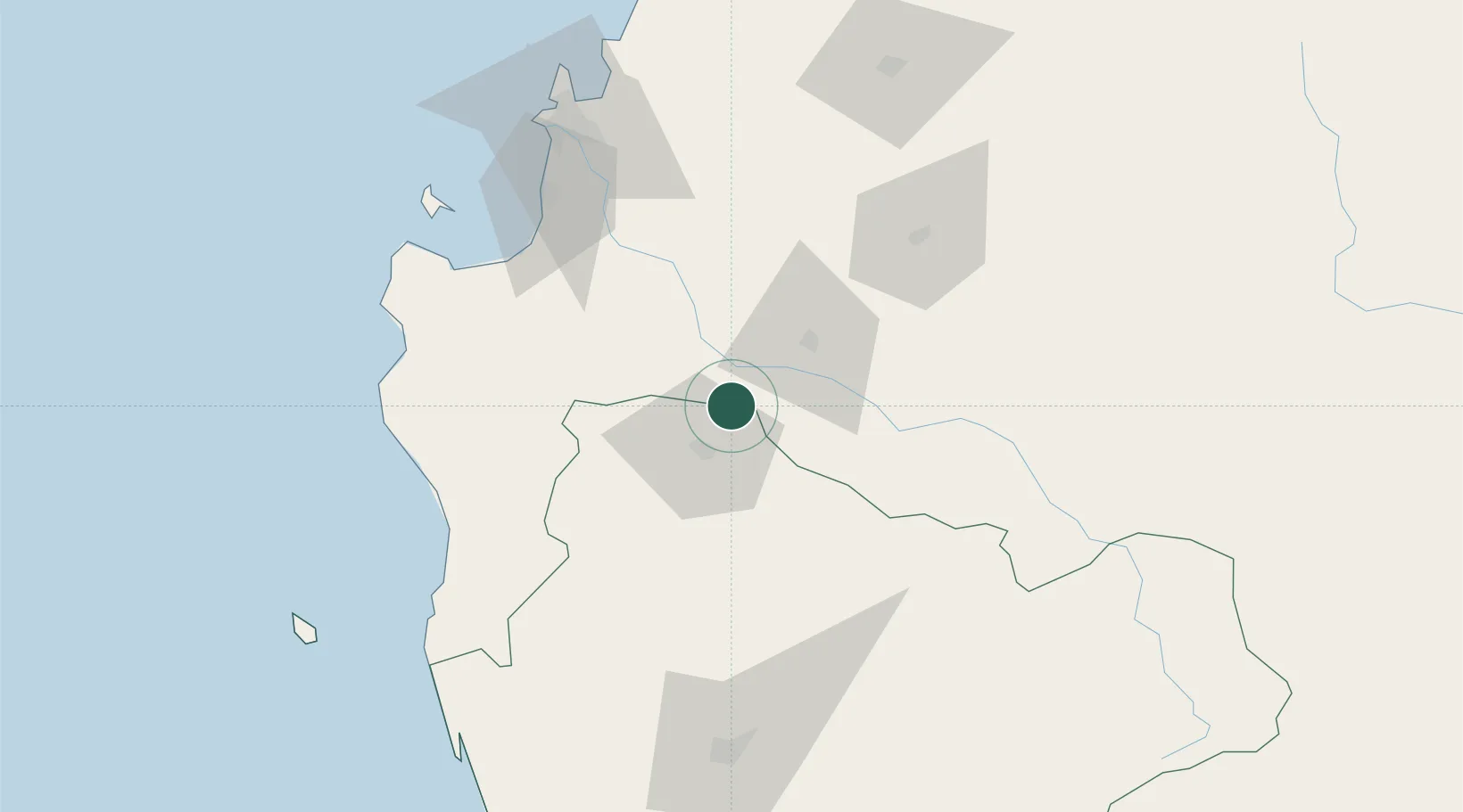
Hub Profile
Place type
Populated place
Region
Araucanía
Time zone
America/Santiago
Elevation
80 m
Location
Nearby Logistics Neighbours
Cities
- 1Angol19 km
- 2Los Ángeles32 km
- 3Collipulli34 km
- 4Los Sauces40 km
- 5Ercilla46 km
Ports
- 1Lota81 km
- 2Coronel87 km
- 3Lirquen111 km
- 4Penco112 km
- 5Bahia San Vicente116 km
Airports
- 1Victoria Airport68 km
- 2Carriel Sur International Airport108 km
- 3Maquehue Airport122 km
- 4Gral. Bernardo O´Higgins Airport130 km
- 5La Araucanía International Airport140 km
Trade Zones
DatabookThe Record of Consolidated Knowledge
Chile beyond logistics?