UN/LOCODE hub · Chile
CLLSQ

Los Ángeles

-37.4500°, -72.3500°
125,430
Population
3
Transport functions

Transport Functions

Rail
Road
Airport
UN/LOCODE

Hub Profile

Place type
Provincial seat
GeoNames
Region
Biobío
GeoNames
Population
125,430
GeoNames
Time zone
America/Santiago
GeoNames
Elevation
141 m
GeoNames

Location

Location of CLLSQ
Natural Earth 10m (public domain) · Biobío · CLLSQ · -37.45, -72.35GoogleOSMYandex

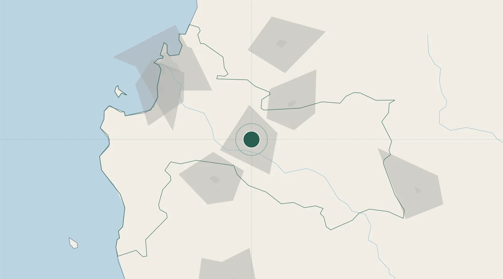
Nearby Logistics Neighbours

Cities
  1. 1Renaico32 km
  2. 2Yumbel39 km
  3. 3Campanario40 km
  4. 4Cabrero47 km
  5. 5Angol51 km
Nearest neighbours — logibook spatial index (haversine) over the source coordinates
Ports
  1. 1Lota81 km
  2. 2Coronel86 km
  3. 3Lirquen99 km
  4. 4Penco100 km
  5. 5Talcahuano107 km
Nearest neighbours — logibook spatial index (haversine) over the source coordinates
Airports
  1. 1Victoria Airport89 km
  2. 2Carriel Sur International Airport98 km
  3. 3Gral. Bernardo O´Higgins Airport101 km
  4. 4Maquehue Airport149 km
  5. 5La Araucanía International Airport166 km
Nearest neighbours — logibook spatial index (haversine) over the source coordinates
Trade Zones
  1. 1Zona Franca Zapala (Zapala Free Trade Zone)252 km
  2. 2Zona Franca Mendoza Free Trade Zone576 km
  3. 3Justo Daract Free Trade Zone762 km
  4. 4Zona Franca de San Luis762 km
  5. 5General Pico Free Zone790 km
Nearest neighbours — logibook spatial index (haversine) over the source coordinates
DatabookThe Record of Consolidated Knowledge
Chile beyond logistics?
Browse databook

All Sources

LocationsUN/LOCODE
UN/LOCODE — free
LocationsGeoNames
CC BY 4.0
Portsthe NGA World Port Index
Public domain (US gov)
AirportsOurAirports
Public domain
Trade Zonesthe World Bank SEZ database
CC BY 4.0
Trade ZonesOpen Zone Map
CC BY
← Chile locations