UN/LOCODE hub · Chile
CLPCH
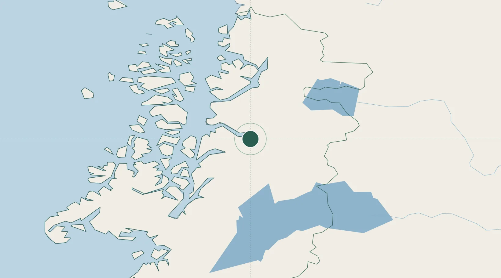
Puerto Chacabuco
-45.4833°, -72.8333°
1,243
Population
2
Transport functions
Transport Functions
Port
Road
Hub Profile
Place type
Urban district
Region
Aysén
Population
1,243
Time zone
America/Coyhaique
Elevation
29 m
Location
Nearby Logistics Neighbours
Cities
- 1Chacabuco1 km
- 2Puerto Aisén15 km
- 3Puerto Cisnes84 km
- 4Melinka194 km
- 5Guaitecas212 km
Ports
- 1Puerto Castro342 km
- 2Puerto Quemchi374 km
- 3Comodoro Rivadavia419 km
- 4Puerto Montt445 km
- 5Puerto San Julian575 km
Airports
- 1Teniente Vidal Airport58 km
- 2Balmaceda Airport101 km
- 3Chile Chico Airport151 km
- 4Perito Moreno Jalil Hamer Airport185 km
- 5Cochrane Airport197 km
DatabookThe Record of Consolidated Knowledge
Chile beyond logistics?