Medium airport · Chile
Teniente Vidal AirportSCCY
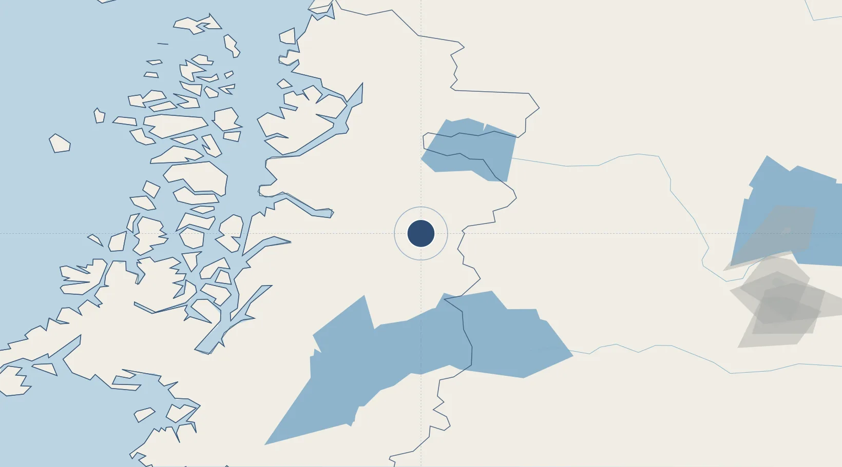
-45.5942°, -72.1061°
5,072 ft
Longest runway
1
Runways
1,020 ft
Elevation
Runway & Layout

Radio Frequencies
GND
545.4 MHz
COYHAIQUE GND
AFIS
126.7 MHz
RDO
545.4 MHz
COYHAIQUE RDO
Runways · 1
| Runway | Dimensions | Surface | True heading | Lit |
|---|---|---|---|---|
| 03/21 | 5,072 × 98ft | Asphalt | 046° | — |
Airport Specifications
IATA code
GXQ
ICAO code
SCCY
Airport class
Medium airport
Scheduled service
No
Runway surface
Asphalt
Served city
Coyhaique
Location
Nearby Logistics Neighbours
Airports
- 1Balmaceda Airport48 km
- 2Chile Chico Airport115 km
- 3Perito Moreno Jalil Hamer Airport136 km
- 4Cochrane Airport187 km
- 5Las Heras Airport264 km
Cities
- 1Puerto Aisén52 km
- 2Chacabuco57 km
- 3Puerto Chacabuco58 km
- 4Puerto Cisnes106 km
- 5Melinka232 km
Ports
- 1Puerto Chacabuco58 km
- 2Comodoro Rivadavia361 km
- 3Puerto Castro371 km
- 4Puerto Quemchi399 km
- 5Puerto Montt462 km
DatabookThe Record of Consolidated Knowledge
Chile beyond logistics?