Transport Functions
Port
Road
Hub Profile
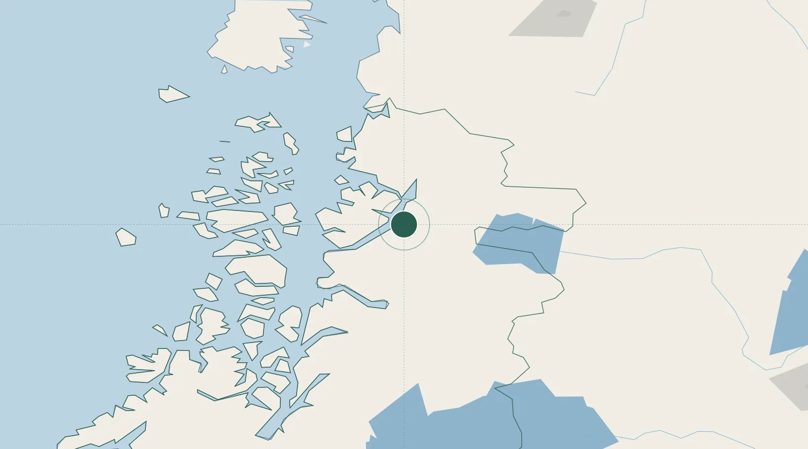
Place type
Populated place
Region
Aysén
Population
5,739
Time zone
America/Coyhaique
Elevation
12 m
Location
Nearby Logistics Neighbours
Cities
- 1Puerto Aisén72 km
- 2Chacabuco84 km
- 3Puerto Chacabuco84 km
- 4Melinka128 km
- 5Guaitecas147 km
Ports
- 1Puerto Chacabuco82 km
- 2Puerto Castro265 km
- 3Puerto Quemchi294 km
- 4Puerto Montt362 km
- 5Comodoro Rivadavia428 km
Airports
- 1Teniente Vidal Airport106 km
- 2Balmaceda Airport153 km
- 3Nuevo Chaitén Airport217 km
- 4Chile Chico Airport220 km
- 5Esquel Brigadier Antonio Parodi International Airport239 km
DatabookThe Record of Consolidated Knowledge
Chile beyond logistics?