Transport Functions
Port
Road
Hub Profile
Place type
Urban district
Region
Aysén
Time zone
America/Coyhaique
Elevation
28 m
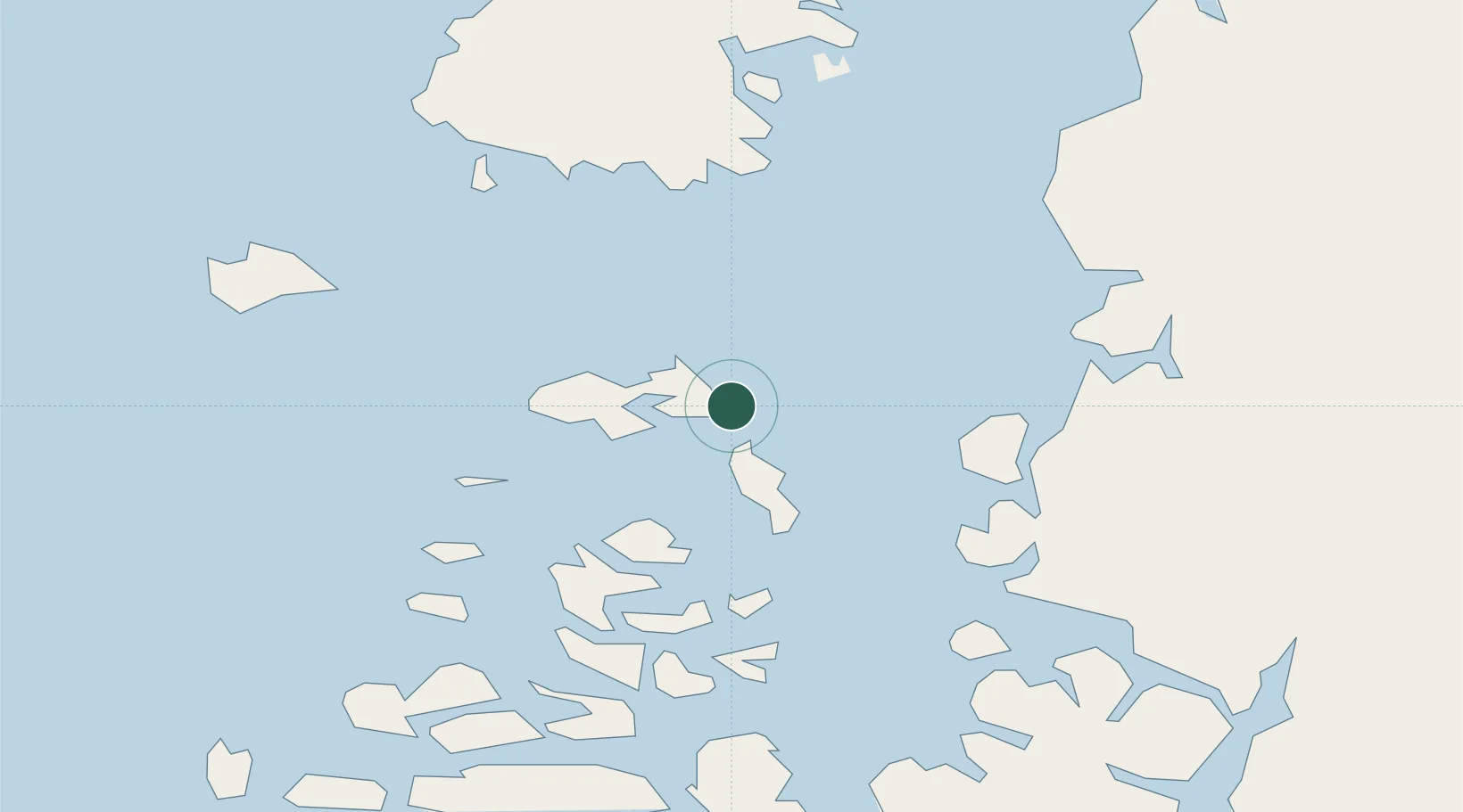
Location
Nearby Logistics Neighbours
Cities
- 1Guaitecas19 km
- 2Quellón Viejo82 km
- 3Quellón (Puerto Quellón)86 km
- 4Carahue98 km
- 5Queilén114 km
Ports
- 1Puerto Castro154 km
- 2Puerto Chacabuco192 km
- 3Puerto Quemchi192 km
- 4Puerto Montt273 km
- 5Puerto De Corral446 km
Airports
DatabookThe Record of Consolidated Knowledge
Chile beyond logistics?