Transport Functions
Port
Airport
Hub Profile
Region
AI
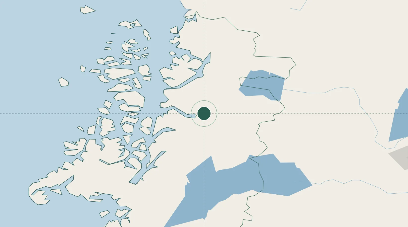
Location
Nearby Logistics Neighbours
Cities
- 1Chacabuco14 km
- 2Puerto Chacabuco15 km
- 3Puerto Cisnes72 km
- 4Melinka188 km
- 5Guaitecas207 km
Ports
- 1Puerto Chacabuco14 km
- 2Puerto Castro334 km
- 3Puerto Quemchi365 km
- 4Comodoro Rivadavia410 km
- 5Puerto Montt434 km
Airports
- 1Teniente Vidal Airport52 km
- 2Balmaceda Airport98 km
- 3Chile Chico Airport155 km
- 4Perito Moreno Jalil Hamer Airport185 km
- 5Cochrane Airport207 km
DatabookThe Record of Consolidated Knowledge
Chile beyond logistics?