Medium airport · Argentina

Perito Moreno Jalil Hamer AirportSAWP
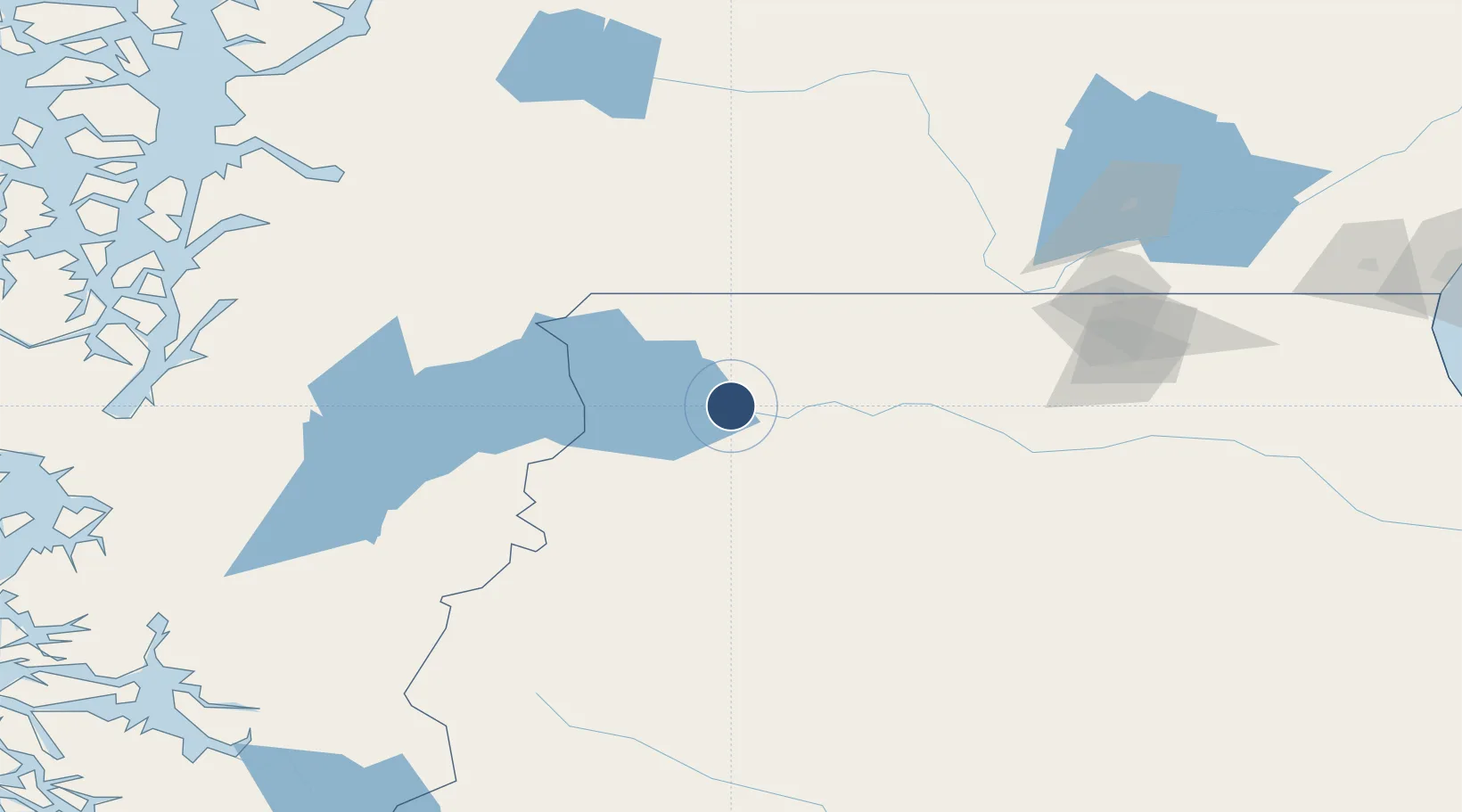
-46.5379°, -70.9787°
5,577 ft
Longest runway
3
Runways
1,410 ft
Elevation

Runway & Layout

Perito Moreno Jalil Hamer Airport runway & taxiway layout
Runway & taxiway layout — OpenStreetMap (ODbL) / OurAirports

Radio Frequencies

A/G
118.1 MHz
RDO
OurAirports

Navaids

PTM NDB Perito Moreno 335 kHz
OurAirports

Runways · 3

RunwayDimensions SurfaceTrue headingLit
10/28 5,577 × 98ft Asphalt 112°
11/29 4,405 × 100ft Graded earth 127°
07/25 2,790 × 130ft Graded earth 087°
OurAirports

Airport Specifications

IATA code
PMQ
OurAirports
ICAO code
SAWP
OurAirports
Airport class
Medium airport
OurAirports
Scheduled service
Yes
OurAirports
Runway surface
Asphalt
OurAirports
Served city
Perito Moreno
OurAirports

Location

Location of SAWP
Natural Earth 10m (public domain) · Santa Cruz · SAWP · -46.54, -70.98GoogleOSMYandex

Nearby Logistics Neighbours

Airports
  1. 1Chile Chico Airport54 km
  2. 2Balmaceda Airport88 km
  3. 3Teniente Vidal Airport136 km
  4. 4Cochrane Airport145 km
  5. 5Las Heras Airport154 km
Nearest neighbours — logibook spatial index (haversine) over the source coordinates
Cities
  1. 1Chacabuco184 km
  2. 2Puerto Aisén185 km
  3. 3Puerto Chacabuco185 km
  4. 4Pampa del Castillo238 km
  5. 5Puerto Cisnes241 km
Nearest neighbours — logibook spatial index (haversine) over the source coordinates
Ports
  1. 1Puerto Chacabuco186 km
  2. 2Comodoro Rivadavia280 km
  3. 3Puerto San Julian394 km
  4. 4Puerto Deseado407 km
  5. 5Puerto Santa Cruz428 km
Nearest neighbours — logibook spatial index (haversine) over the source coordinates
Trade Zones
  1. 1La Zona Franca Santa Cruz (ZFSC) - Caleta Olivia265 km
  2. 2Comodoro Free Trade Zone270 km
  3. 3Comodoro Free Trade Zone Zona Franca Chubut277 km
  4. 4La Zona Franca Santa Cruz (ZFSC) - Río Gallegos588 km
  5. 5Punta Arenas Free Trade Zone734 km
Nearest neighbours — logibook spatial index (haversine) over the source coordinates
DatabookThe Record of Consolidated Knowledge
Argentina beyond logistics?
Browse databook

All Sources

AirportsOurAirports
Public domain
Portsthe NGA World Port Index
Public domain (US gov)
LocationsUN/LOCODE
UN/LOCODE — free
Trade Zonesthe World Bank SEZ database
CC BY 4.0
Trade ZonesOpen Zone Map
CC BY
InfrastructureOpenStreetMap
ODbL 1.0
← Argentina airports