UN/LOCODE hub · Chile
CLGUA

Guaitecas

-43.7333°, -73.9000°
1
Transport functions

Transport Functions

Port
UN/LOCODE

Hub Profile

Region
AI
GeoNames

Location

Location of CLGUA
Natural Earth 10m (public domain) · AI · CLGUA · -43.73, -73.90GoogleOSMYandex

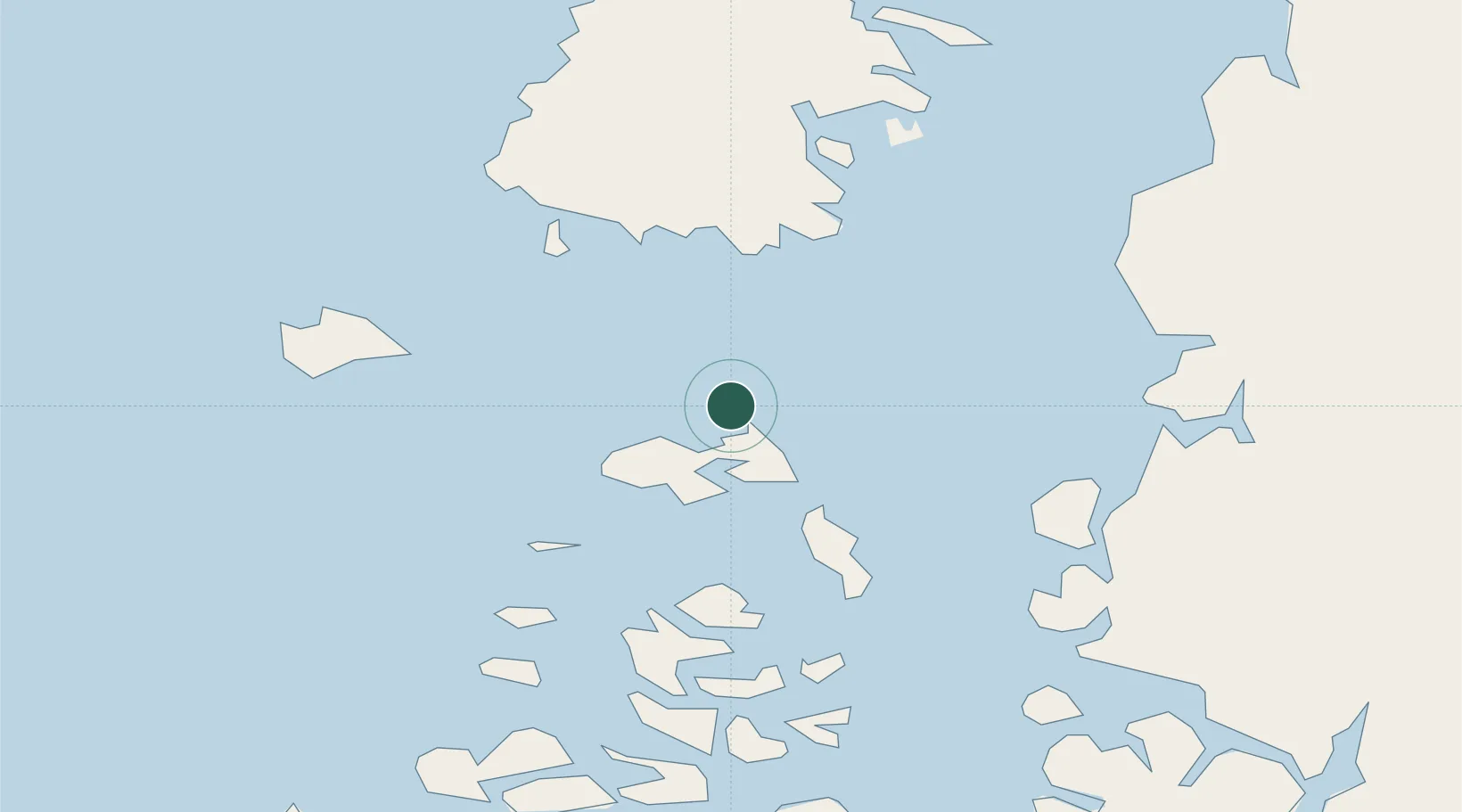
Nearby Logistics Neighbours

Cities
  1. 1Melinka19 km
  2. 2Quellón Viejo69 km
  3. 3Quellón (Puerto Quellón)74 km
  4. 4Carahue86 km
  5. 5Queilén103 km
Nearest neighbours — logibook spatial index (haversine) over the source coordinates
Ports
  1. 1Puerto Castro139 km
  2. 2Puerto Quemchi179 km
  3. 3Puerto Chacabuco210 km
  4. 4Puerto Montt262 km
  5. 5Puerto De Corral432 km
Nearest neighbours — logibook spatial index (haversine) over the source coordinates
Airports
  1. 1Nuevo Chaitén Airport137 km
  2. 2Mocopulli Airport156 km
  3. 3Esquel Brigadier Antonio Parodi International Airport241 km
  4. 4Teniente Vidal Airport251 km
  5. 5El Tepual International Airport263 km
Nearest neighbours — logibook spatial index (haversine) over the source coordinates
DatabookThe Record of Consolidated Knowledge
Chile beyond logistics?
Browse databook

All Sources

LocationsUN/LOCODE
UN/LOCODE — free
Portsthe NGA World Port Index
Public domain (US gov)
AirportsOurAirports
Public domain
Trade Zonesthe World Bank SEZ database
CC BY 4.0
Trade ZonesOpen Zone Map
CC BY
← Chile locations