Medium airport · Chile
Balmaceda AirportSCBA
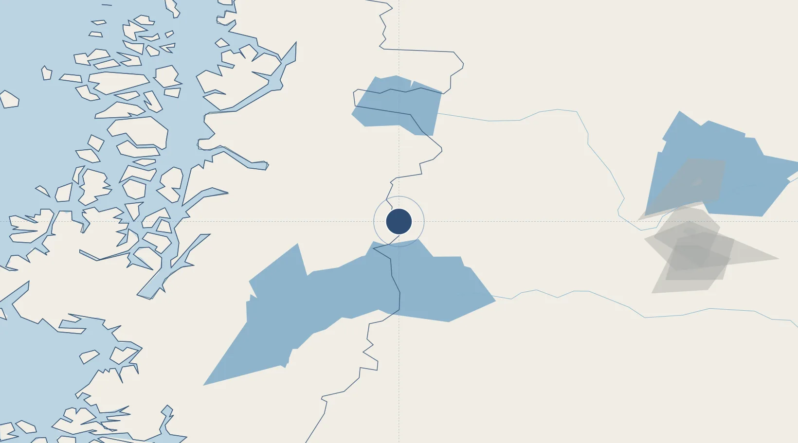
-45.9160°, -71.6895°
8,205 ft
Longest runway
1
Runways
1,722 ft
Elevation
Runway & Layout

Radio Frequencies
TWR
118.5 MHz
GND
121.9 MHz
BALMACEDA GND
RDO
126.9 MHz
Navaids
BAL VOR-DME Balmaceda 115.50 MHz
BAL NDB Balmaceda 390 kHz
Runways · 1
| Runway | Dimensions | Surface | True heading | Lit |
|---|---|---|---|---|
| 09/27 | 8,205 × 148ft | Asphalt | 100° | ✓ |
Airport Specifications
IATA code
BBA
ICAO code
SCBA
Airport class
Medium airport
Scheduled service
Yes
Runway surface
Asphalt
Served city
Balmaceda
Location
Nearby Logistics Neighbours
Airports
- 1Teniente Vidal Airport48 km
- 2Chile Chico Airport74 km
- 3Perito Moreno Jalil Hamer Airport88 km
- 4Cochrane Airport163 km
- 5Las Heras Airport221 km
Cities
- 1Puerto Aisén98 km
- 2Chacabuco100 km
- 3Puerto Chacabuco101 km
- 4Puerto Cisnes153 km
- 5Tortel257 km
Ports
- 1Puerto Chacabuco102 km
- 2Comodoro Rivadavia327 km
- 3Puerto Castro416 km
- 4Puerto Quemchi443 km
- 5Puerto San Julian482 km
DatabookThe Record of Consolidated Knowledge
Chile beyond logistics?