Medium airport · Chile

Chile Chico AirportSCCC
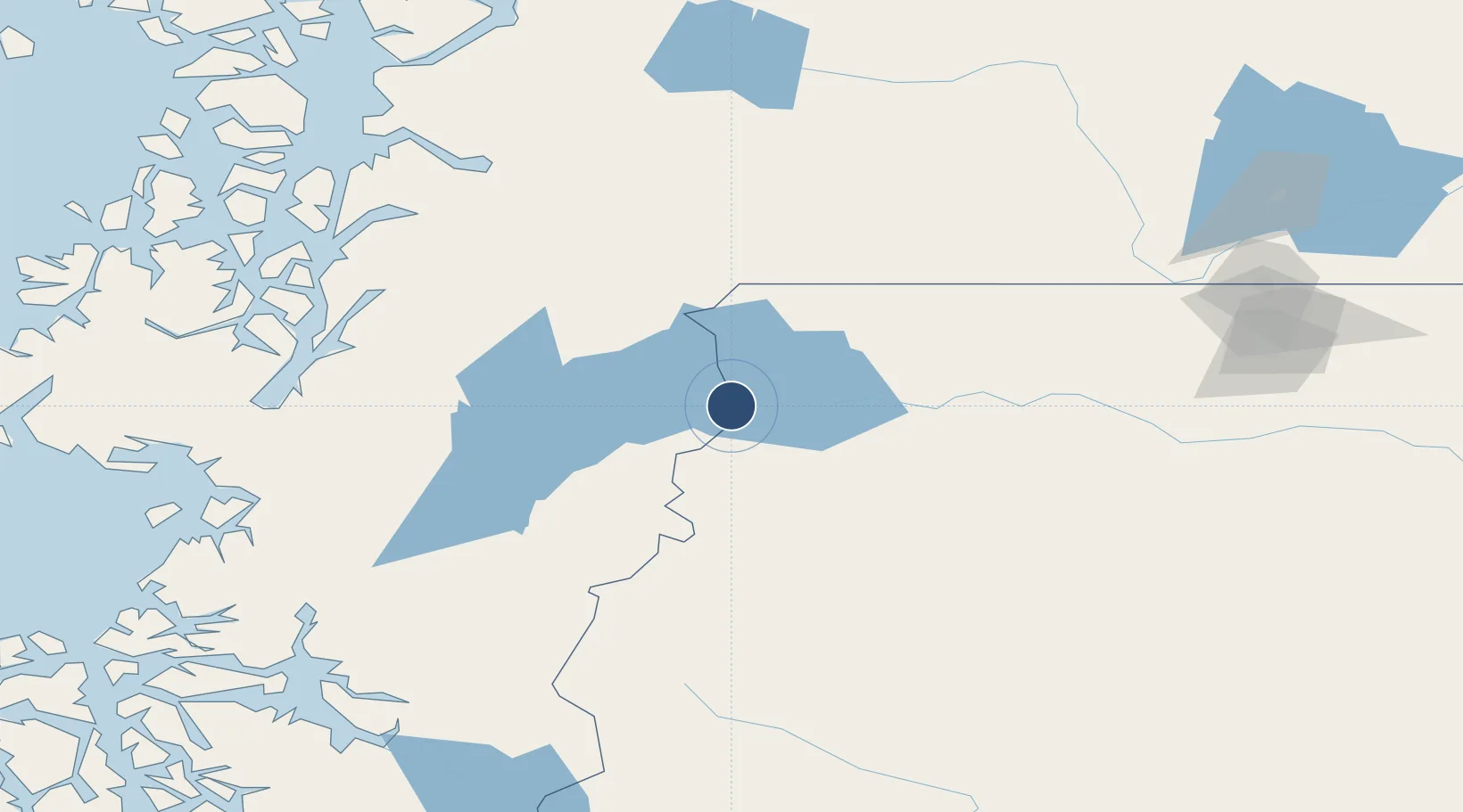
-46.5831°, -71.6863°
3,937 ft
Longest runway
1
Runways
1,070 ft
Elevation

Runway & Layout

Chile Chico Airport runway & taxiway layout
Runway & taxiway layout — OpenStreetMap (ODbL) / OurAirports

Radio Frequencies

INFO
127.7 MHz
OurAirports

Runways · 1

RunwayDimensions SurfaceTrue headingLit
12/30 3,937 × 75ft Asphalt 137°
OurAirports

Airport Specifications

IATA code
CCH
OurAirports
ICAO code
SCCC
OurAirports
Airport class
Medium airport
OurAirports
Scheduled service
No
OurAirports
Runway surface
Asphalt
OurAirports
Served city
Chile Chico
OurAirports

Location

Location of SCCC
Natural Earth 10m (public domain) · Santa Cruz · SCCC · -46.58, -71.69GoogleOSMYandex

Nearby Logistics Neighbours

Airports
  1. 1Perito Moreno Jalil Hamer Airport54 km
  2. 2Balmaceda Airport74 km
  3. 3Cochrane Airport100 km
  4. 4Teniente Vidal Airport115 km
  5. 5Las Heras Airport208 km
Nearest neighbours — logibook spatial index (haversine) over the source coordinates
Cities
  1. 1Chacabuco150 km
  2. 2Puerto Chacabuco151 km
  3. 3Puerto Aisén155 km
  4. 4Tortel199 km
  5. 5O'Higgins220 km
Nearest neighbours — logibook spatial index (haversine) over the source coordinates
Ports
  1. 1Puerto Chacabuco153 km
  2. 2Comodoro Rivadavia334 km
  3. 3Puerto San Julian425 km
  4. 4Puerto Santa Cruz448 km
  5. 5Puerto Deseado456 km
Nearest neighbours — logibook spatial index (haversine) over the source coordinates
Trade Zones
  1. 1La Zona Franca Santa Cruz (ZFSC) - Caleta Olivia319 km
  2. 2Comodoro Free Trade Zone324 km
  3. 3Comodoro Free Trade Zone Zona Franca Chubut331 km
  4. 4La Zona Franca Santa Cruz (ZFSC) - Río Gallegos596 km
  5. 5Punta Arenas Free Trade Zone731 km
Nearest neighbours — logibook spatial index (haversine) over the source coordinates
DatabookThe Record of Consolidated Knowledge
Chile beyond logistics?
Browse databook

All Sources

AirportsOurAirports
Public domain
Portsthe NGA World Port Index
Public domain (US gov)
LocationsUN/LOCODE
UN/LOCODE — free
Trade Zonesthe World Bank SEZ database
CC BY 4.0
Trade ZonesOpen Zone Map
CC BY
InfrastructureOpenStreetMap
ODbL 1.0
← Chile airports