UN/LOCODE hub · Chile
CLPLC
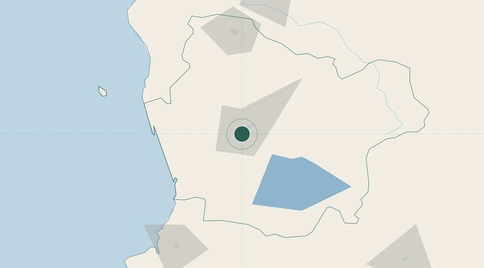
Padre Las Casas
-38.7667°, -72.6000°
72,892
Population
2
Transport functions
Transport Functions
Rail
Road
Hub Profile
Place type
Populated place
Region
Araucanía
Population
72,892
Time zone
America/Santiago
Elevation
125 m
Location
Nearby Logistics Neighbours
Cities
- 1Temuco6 km
- 2Freire21 km
- 3Pitrufquén25 km
- 4Nueva Imperial31 km
- 5Lautaro31 km
Ports
- 1Bahia De Valdivia128 km
- 2Puerto De Corral142 km
- 3Lota192 km
- 4Coronel199 km
- 5Lirquen230 km
Airports
- 1Maquehue Airport3 km
- 2La Araucanía International Airport18 km
- 3Victoria Airport62 km
- 4Pucón Airport83 km
- 5Pichoy Airport107 km
Trade Zones
DatabookThe Record of Consolidated Knowledge
Chile beyond logistics?