Transport Functions
Rail
Road
Airport
Hub Profile
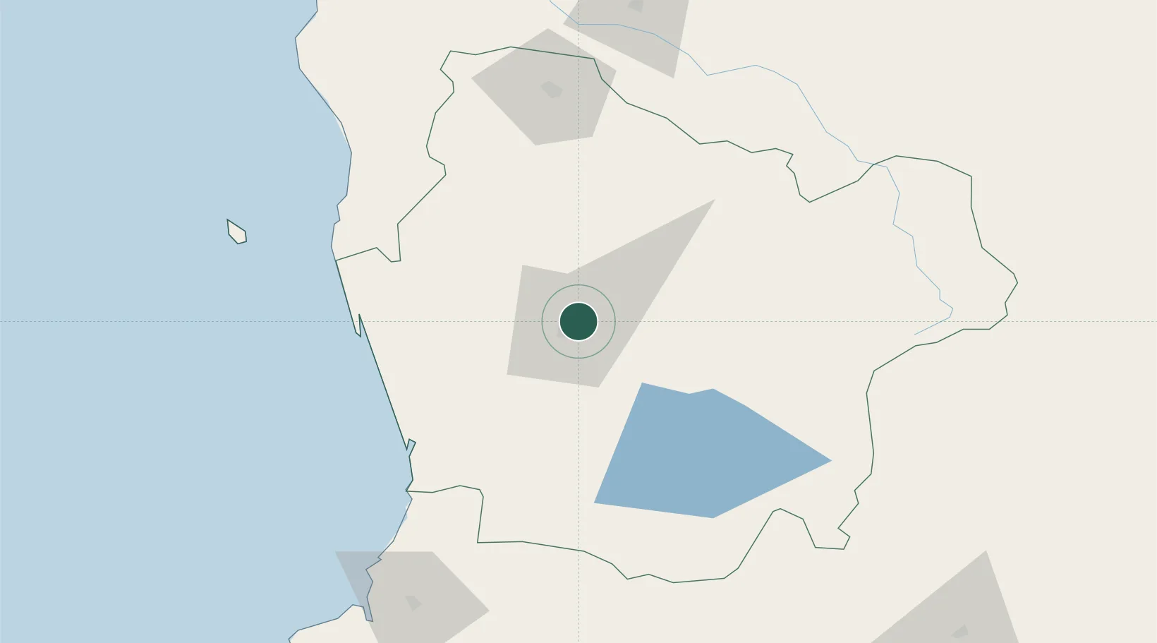
Place type
Regional capital
Region
Araucanía
Population
238,129
Time zone
America/Santiago
Elevation
104 m
Location
Nearby Logistics Neighbours
Cities
- 1Padre Las Casas6 km
- 2Lautaro24 km
- 3Freire27 km
- 4Vilcún30 km
- 5Pitrufquén31 km
Ports
- 1Bahia De Valdivia134 km
- 2Puerto De Corral148 km
- 3Lota187 km
- 4Coronel194 km
- 5Lirquen225 km
Airports
- 1Maquehue Airport8 km
- 2La Araucanía International Airport24 km
- 3Victoria Airport56 km
- 4Pucón Airport85 km
- 5Pichoy Airport113 km
Trade Zones
DatabookThe Record of Consolidated Knowledge
Chile beyond logistics?