Transport Functions
Rail
Road
Hub Profile
Place type
Urban district
Region
Biobío
Time zone
America/Santiago
Elevation
102 m
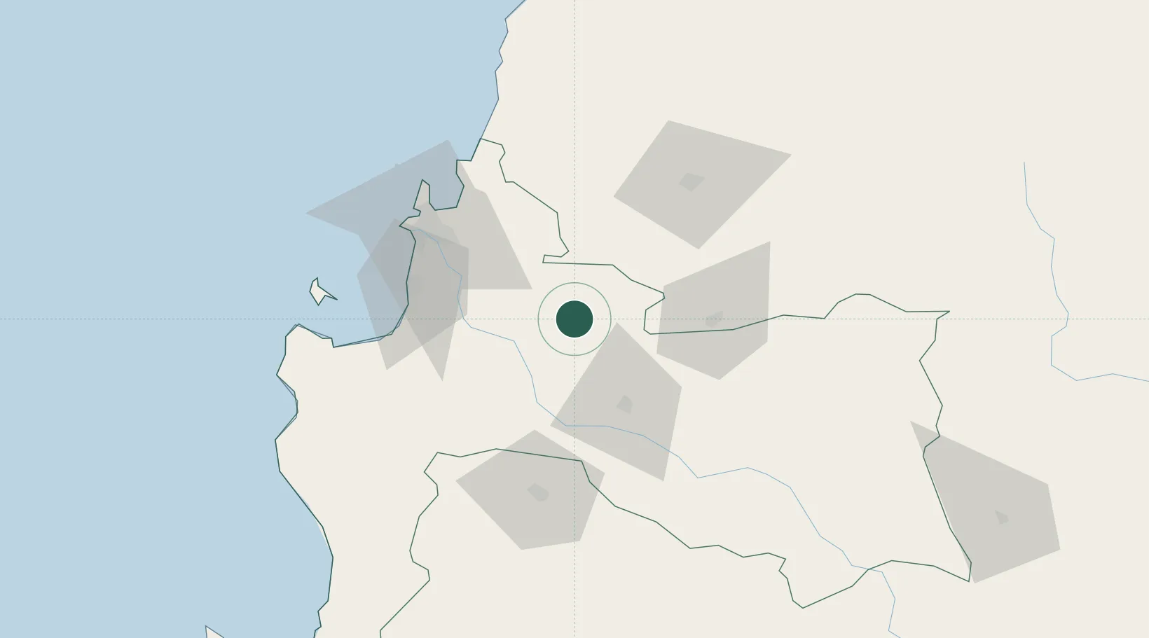
Location
Nearby Logistics Neighbours
Cities
- 1Cabrero16 km
- 2Campanario31 km
- 3Los Ángeles39 km
- 4Chiguayante49 km
- 5Nueva Aldea54 km
Ports
- 1Lota55 km
- 2Coronel57 km
- 3Lirquen61 km
- 4Penco62 km
- 5Talcahuano70 km
Airports
- 1Carriel Sur International Airport62 km
- 2Gral. Bernardo O´Higgins Airport76 km
- 3Victoria Airport125 km
- 4Maquehue Airport182 km
- 5La Araucanía International Airport200 km
Trade Zones
DatabookThe Record of Consolidated Knowledge
Chile beyond logistics?