Medium airport · Argentina

Esquel Brigadier Antonio Parodi International AirportSAVE
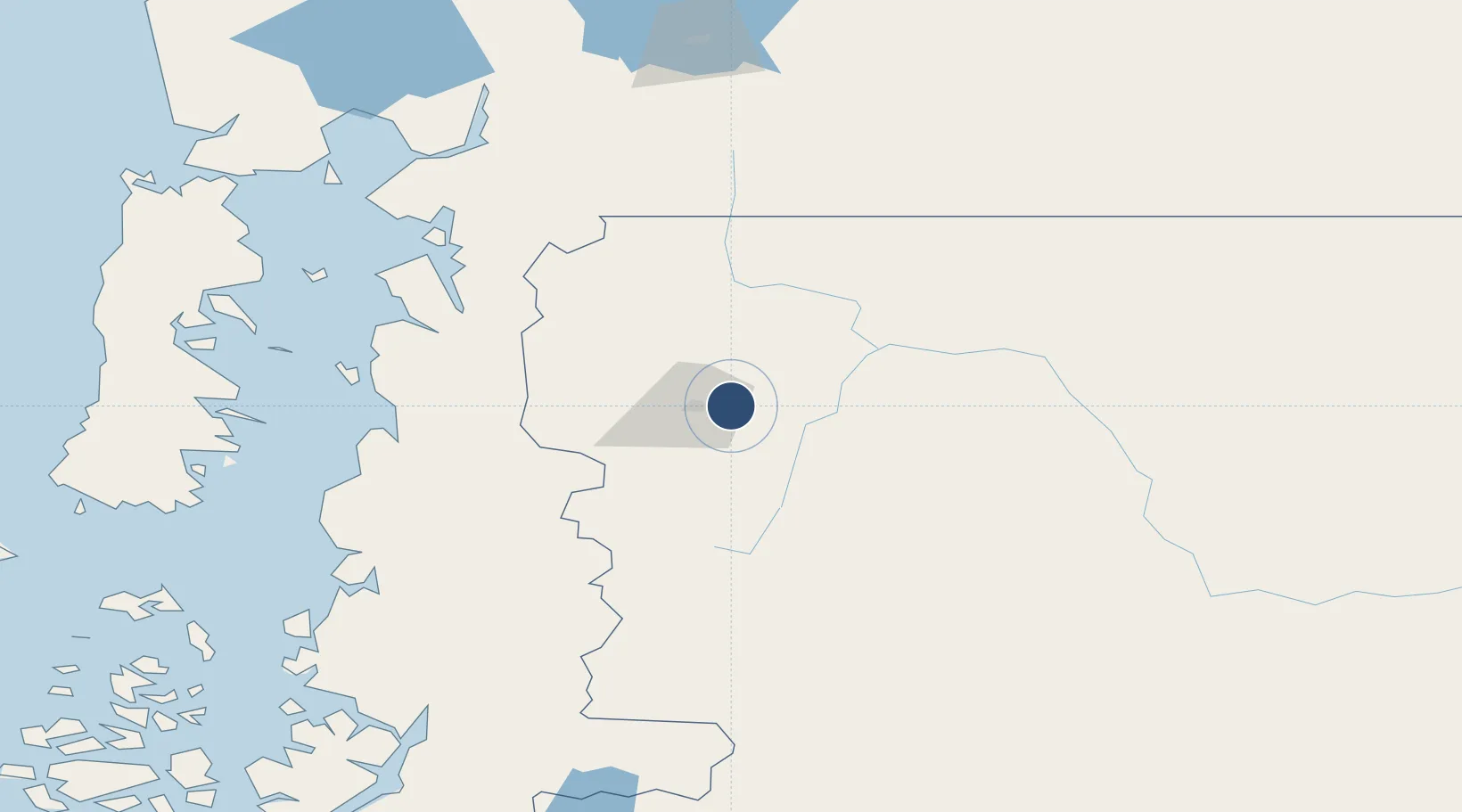
-42.9080°, -71.1395°
7,874 ft
Longest runway
2
Runways
2,621 ft
Elevation

Runway & Layout

Esquel Brigadier Antonio Parodi International Airport runway & taxiway layout
Runway & taxiway layout — OpenStreetMap (ODbL) / OurAirports

Radio Frequencies

APP
118.1 MHz
APP/TWR
OurAirports

Navaids

ESQ VOR-DME Esquel 117.80 MHz
OL NDB Esquel 275 kHz
OurAirports

Runways · 2

RunwayDimensions SurfaceTrue headingLit
5/23 7,874 × 131ft Asphalt 057°
8/26 3,937 × 98ft Graded earth 090°
OurAirports

Airport Specifications

IATA code
EQS
OurAirports
ICAO code
SAVE
OurAirports
Airport class
Medium airport
OurAirports
Scheduled service
Yes
OurAirports
Runway surface
Asphalt
OurAirports
Served city
Esquel
OurAirports

Location

Location of SAVE
Natural Earth 10m (public domain) · Chubut · SAVE · -42.91, -71.14GoogleOSMYandex

Nearby Logistics Neighbours

Airports
  1. 1El Bolsón Airfield112 km
  2. 2Nuevo Chaitén Airport139 km
  3. 3Teniente Luis Candelaria International Airport195 km
  4. 4Mocopulli Airport220 km
  5. 5El Tepual International Airport229 km
Nearest neighbours — logibook spatial index (haversine) over the source coordinates
Cities
  1. 1Chaitén127 km
  2. 2Ayacara151 km
  3. 3Hualaihué161 km
  4. 4Queilén190 km
  5. 5Quinchao190 km
Nearest neighbours — logibook spatial index (haversine) over the source coordinates
Ports
  1. 1Puerto Quemchi210 km
  2. 2Puerto Montt219 km
  3. 3Puerto Castro220 km
  4. 4Puerto Chacabuco315 km
  5. 5Bahia De Valdivia388 km
Nearest neighbours — logibook spatial index (haversine) over the source coordinates
Trade Zones
  1. 1Comodoro Free Trade Zone437 km
  2. 2Comodoro Free Trade Zone Zona Franca Chubut438 km
  3. 3Zona Franca Zapala (Zapala Free Trade Zone)457 km
  4. 4La Zona Franca Santa Cruz (ZFSC) - Caleta Olivia489 km
  5. 5Zona Franca Bahía Blanca880 km
Nearest neighbours — logibook spatial index (haversine) over the source coordinates
DatabookThe Record of Consolidated Knowledge
Argentina beyond logistics?
Browse databook

All Sources

AirportsOurAirports
Public domain
Portsthe NGA World Port Index
Public domain (US gov)
LocationsUN/LOCODE
UN/LOCODE — free
Trade Zonesthe World Bank SEZ database
CC BY 4.0
Trade ZonesOpen Zone Map
CC BY
InfrastructureOpenStreetMap
ODbL 1.0
← Argentina airports