Medium airport · Chile

Nuevo Chaitén AirportSCTN
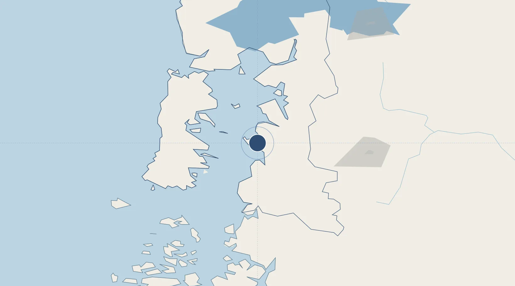
-42.7819°, -72.8350°
3,937 ft
Longest runway
1
Runways
95 ft
Elevation

Runway & Layout

Nuevo Chaitén Airport runway & taxiway layout
Runway & taxiway layout — OpenStreetMap (ODbL) / OurAirports

Runways · 1

RunwayDimensions SurfaceTrue headingLit
01/19 3,937 × 98ft Asphalt 021°
OurAirports

Airport Specifications

IATA code
WCH
OurAirports
ICAO code
SCTN
OurAirports
Airport class
Medium airport
OurAirports
Scheduled service
No
OurAirports
Runway surface
Asphalt
OurAirports
Served city
Chaitén
OurAirports

Location

Location of SCTN
Natural Earth 10m (public domain) · Los Lagos · SCTN · -42.78, -72.83GoogleOSMYandex

Nearby Logistics Neighbours

Airports
  1. 1Mocopulli Airport87 km
  2. 2Esquel Brigadier Antonio Parodi International Airport139 km
  3. 3El Bolsón Airfield142 km
  4. 4El Tepual International Airport150 km
  5. 5Teniente Luis Candelaria International Airport228 km
Nearest neighbours — logibook spatial index (haversine) over the source coordinates
Cities
  1. 1Chaitén19 km
  2. 2Queilén52 km
  3. 3Ayacara54 km
  4. 4Quinchao55 km
  5. 5Carahue63 km
Nearest neighbours — logibook spatial index (haversine) over the source coordinates
Ports
  1. 1Puerto Castro83 km
  2. 2Puerto Quemchi88 km
  3. 3Puerto Montt145 km
  4. 4Puerto Chacabuco299 km
  5. 5Puerto De Corral328 km
Nearest neighbours — logibook spatial index (haversine) over the source coordinates
Trade Zones
  1. 1Zona Franca Zapala (Zapala Free Trade Zone)491 km
  2. 2Comodoro Free Trade Zone543 km
  3. 3Comodoro Free Trade Zone Zona Franca Chubut545 km
  4. 4La Zona Franca Santa Cruz (ZFSC) - Caleta Olivia588 km
  5. 5Zona Franca Bahía Blanca998 km
Nearest neighbours — logibook spatial index (haversine) over the source coordinates
DatabookThe Record of Consolidated Knowledge
Chile beyond logistics?
Browse databook

All Sources

AirportsOurAirports
Public domain
Portsthe NGA World Port Index
Public domain (US gov)
LocationsUN/LOCODE
UN/LOCODE — free
Trade Zonesthe World Bank SEZ database
CC BY 4.0
Trade ZonesOpen Zone Map
CC BY
InfrastructureOpenStreetMap
ODbL 1.0
← Chile airports