Transport Functions
Multimodal
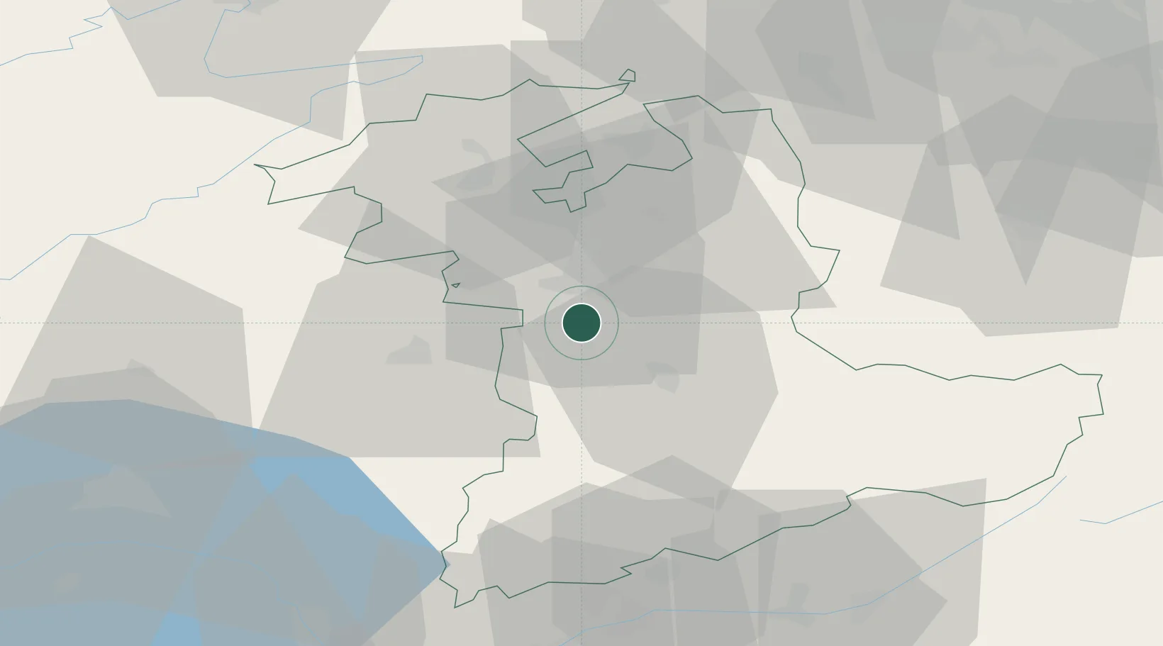
Hub Profile
Place type
Populated place
Region
Bern
Population
806
Time zone
Europe/Zurich
Elevation
827 m
Location
Nearby Logistics Neighbours
Cities
- 1Belp3 km
- 2Rüeggisberg6 km
- 3Köniz8 km
- 4Niederwichtrach8 km
- 5Boll10 km
Ports
- 1Savona295 km
- 2Genova297 km
- 3Rada Di Vado299 km
- 4Chiavari - Lavagna320 km
- 5Imperia335 km
Airports
- 1Bern Airport6 km
- 2Grenchen Airfield35 km
- 3Payerne Air Base42 km
- 4Les Eplatures Airport57 km
- 5Alpnach Air Base63 km
Trade Zones
- 1PESA - Port-Franc et Entrepôts de Lausanne-Chavornay SA71 km
- 2Port Franc Vevey82 km
- 3ZFU Montbéliard88 km
- 4ZFU Mulhouse99 km
- 5ZFU Belfort100 km
DatabookThe Record of Consolidated Knowledge
Switzerland beyond logistics?