Transport Functions
Rail
Road
Hub Profile
Place type
Populated place
Region
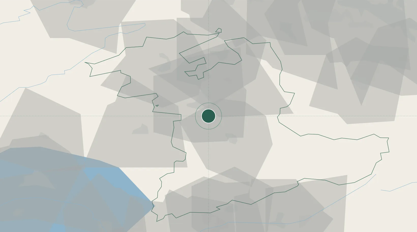
Bern
Population
9,307
Time zone
Europe/Zurich
Elevation
519 m
Location
Nearby Logistics Neighbours
Cities
- 1Zimmerwald3 km
- 2Niederwichtrach6 km
- 3Boll7 km
- 4Köniz9 km
- 5Konolfingen9 km
Ports
- 1Savona296 km
- 2Genova298 km
- 3Rada Di Vado300 km
- 4Chiavari - Lavagna320 km
- 5Imperia336 km
Airports
- 1Bern Airport3 km
- 2Grenchen Airfield34 km
- 3Payerne Air Base45 km
- 4Les Eplatures Airport58 km
- 5Alpnach Air Base60 km
Trade Zones
- 1PESA - Port-Franc et Entrepôts de Lausanne-Chavornay SA74 km
- 2Port Franc Vevey85 km
- 3ZFU Montbéliard88 km
- 4ZFU Mulhouse97 km
- 5ZFU Belfort100 km
DatabookThe Record of Consolidated Knowledge
Switzerland beyond logistics?