Transport Functions
Multimodal
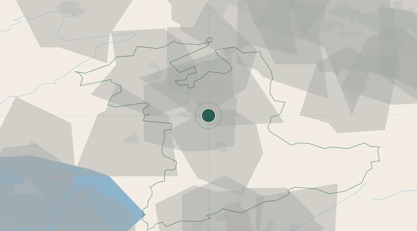
Hub Profile
Place type
Populated place
Region
Bern
Time zone
Europe/Zurich
Elevation
569 m
Location
Nearby Logistics Neighbours
Cities
- 1Biglen5 km
- 2Belp7 km
- 3Worblaufen7 km
- 4Konolfingen8 km
- 5Zäziwil9 km
Ports
- 1Savona300 km
- 2Genova301 km
- 3Rada Di Vado305 km
- 4Chiavari - Lavagna323 km
- 5Imperia341 km
Airports
- 1Bern Airport5 km
- 2Grenchen Airfield29 km
- 3Payerne Air Base49 km
- 4Alpnach Air Base56 km
- 5Les Eplatures Airport60 km
Trade Zones
- 1PESA - Port-Franc et Entrepôts de Lausanne-Chavornay SA79 km
- 2ZFU Montbéliard86 km
- 3Port Franc Vevey91 km
- 4ZFU Mulhouse92 km
- 5ZFU Belfort97 km
DatabookThe Record of Consolidated Knowledge
Switzerland beyond logistics?