Transport Functions
Road
Multimodal
Hub Profile
Place type
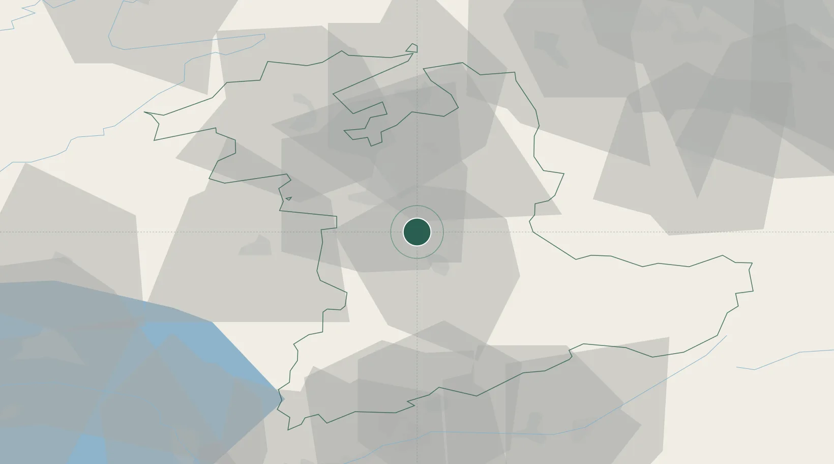
Populated place
Region
Bern
Time zone
Europe/Zurich
Elevation
544 m
Location
Nearby Logistics Neighbours
Cities
- 1Oberdiessbach4 km
- 2Konolfingen5 km
- 3Belp6 km
- 4Zimmerwald8 km
- 5Heimberg8 km
Ports
- 1Savona291 km
- 2Genova292 km
- 3Rada Di Vado296 km
- 4Chiavari - Lavagna314 km
- 5Imperia332 km
Airports
- 1Bern Airport9 km
- 2Grenchen Airfield39 km
- 3Payerne Air Base50 km
- 4Alpnach Air Base56 km
- 5Emmen Air Base62 km
Trade Zones
- 1PESA - Port-Franc et Entrepôts de Lausanne-Chavornay SA78 km
- 2Port Franc Vevey88 km
- 3ZFU Montbéliard94 km
- 4ZFU Mulhouse102 km
- 5ZFU Belfort106 km
DatabookThe Record of Consolidated Knowledge
Switzerland beyond logistics?