UN/LOCODE hub · Switzerland
CHBTT

Brutten

47.4667°, 8.6667°
1,556
Population
2
Transport functions

Transport Functions

Port
Multimodal
UN/LOCODE

Hub Profile

Place type
Populated place
GeoNames
Region
Zurich
GeoNames
Population
1,556
GeoNames
Time zone
Europe/Zurich
GeoNames
Elevation
622 m
GeoNames

Location

Location of CHBTT
Natural Earth 10m (public domain) · Zurich · CHBTT · 47.47, 8.67GoogleOSMYandex

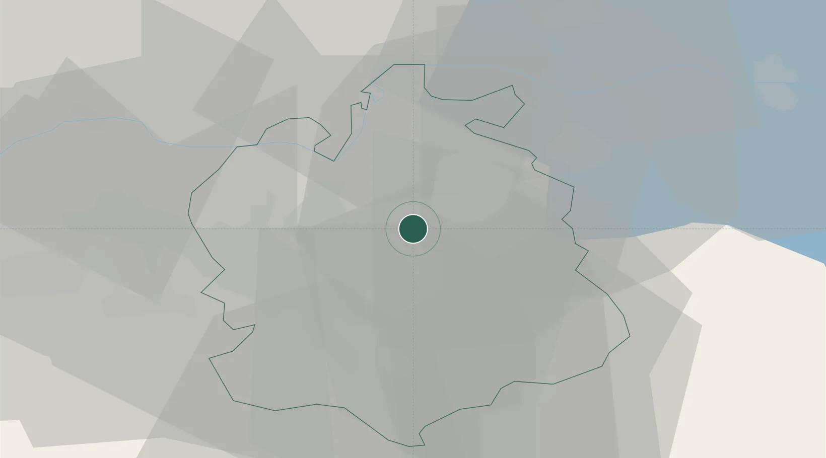
Nearby Logistics Neighbours

Cities
  1. 1Tagelswangen4 km
  2. 2Bassersdorf5 km
  3. 3Pfungen6 km
  4. 4Brüttisellen6 km
  5. 5Seuzach8 km
Nearest neighbours — logibook spatial index (haversine) over the source coordinates
Ports
  1. 1Genova342 km
  2. 2Savona351 km
  3. 3Chiavari - Lavagna355 km
  4. 4Rada Di Vado356 km
  5. 5Porto Di Lido-Venezia368 km
Nearest neighbours — logibook spatial index (haversine) over the source coordinates
Airports
  1. 1Dübendorf Air Base8 km
  2. 2Zürich Airport9 km
  3. 3Emmen Air Base50 km
  4. 4Donaueschingen-Villingen Airfield57 km
  5. 5Alpnach Air Base65 km
Nearest neighbours — logibook spatial index (haversine) over the source coordinates
Trade Zones
  1. 1ZFU Mulhouse105 km
  2. 2ZFU Neuhof137 km
  3. 3ZFU Belfort141 km
  4. 4ZFU Montbéliard141 km
  5. 5ZFU Hautepierre145 km
Nearest neighbours — logibook spatial index (haversine) over the source coordinates
DatabookThe Record of Consolidated Knowledge
Switzerland beyond logistics?
Browse databook

All Sources

LocationsUN/LOCODE
UN/LOCODE — free
LocationsGeoNames
CC BY 4.0
Portsthe NGA World Port Index
Public domain (US gov)
AirportsOurAirports
Public domain
Trade Zonesthe World Bank SEZ database
CC BY 4.0
Trade ZonesOpen Zone Map
CC BY
← Switzerland locations