Transport Functions
Rail
Road
Hub Profile
Place type
Populated place
Region
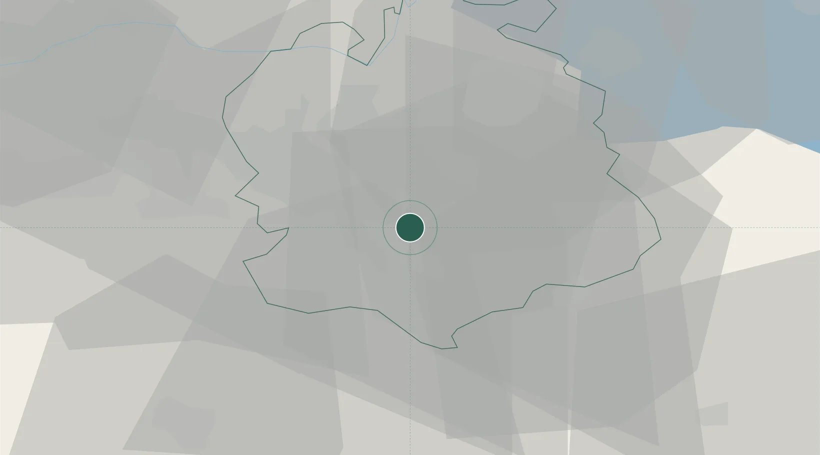
Zurich
Population
4,424
Time zone
Europe/Zurich
Elevation
649 m
Location
Nearby Logistics Neighbours
Cities
- 1Waltikon0 km
- 2Küsnacht3 km
- 3Maur4 km
- 4Erlenbach4 km
- 5Feldmeilen6 km
Ports
- 1Genova327 km
- 2Savona336 km
- 3Chiavari - Lavagna341 km
- 4Rada Di Vado341 km
- 5Porto Di Lido-Venezia362 km
Airports
- 1Dübendorf Air Base8 km
- 2Zürich Airport15 km
- 3Emmen Air Base36 km
- 4Alpnach Air Base50 km
- 5Donaueschingen-Villingen Airfield72 km
Trade Zones
- 1ZFU Mulhouse107 km
- 2ZFU Montbéliard139 km
- 3ZFU Belfort140 km
- 4Livigno Free Trade Zone144 km
- 5ZFU Neuhof149 km
DatabookThe Record of Consolidated Knowledge
Switzerland beyond logistics?