Transport Functions
Port
Road
Hub Profile
Place type
Populated place
Region
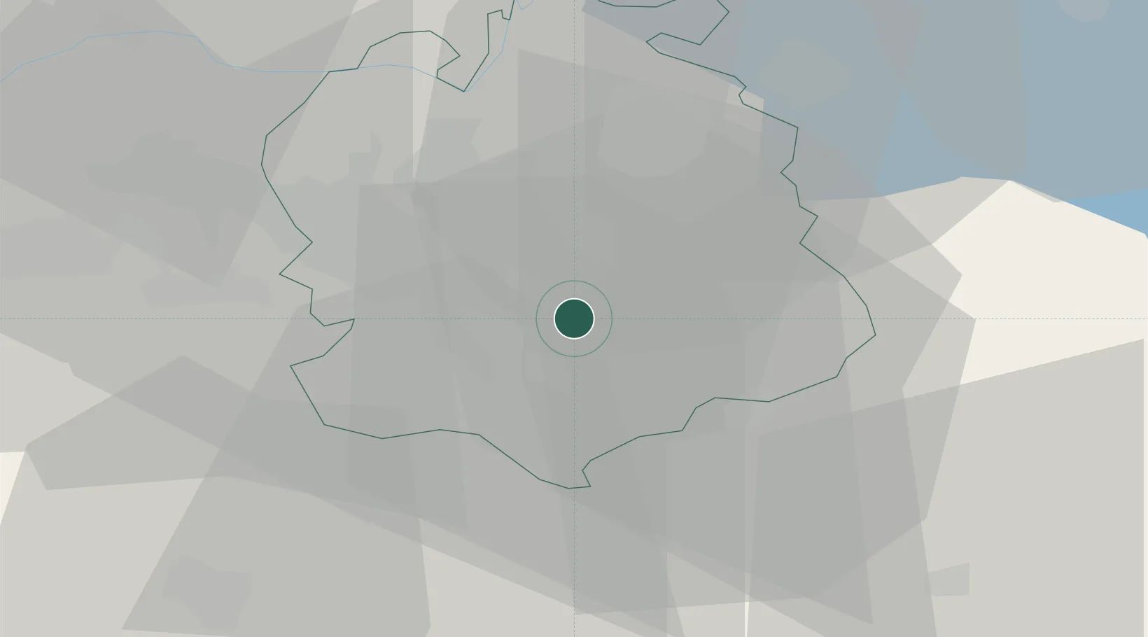
Zurich
Population
307
Time zone
Europe/Zurich
Elevation
464 m
Location
Nearby Logistics Neighbours
Cities
- 1Uster3 km
- 2Waltikon4 km
- 3Zumikon4 km
- 4Volketswil4 km
- 5Egg4 km
Ports
- 1Genova327 km
- 2Savona336 km
- 3Chiavari - Lavagna341 km
- 4Rada Di Vado342 km
- 5Porto Di Lido-Venezia359 km
Airports
- 1Dübendorf Air Base7 km
- 2Zürich Airport17 km
- 3Emmen Air Base38 km
- 4Alpnach Air Base52 km
- 5Sankt Gallen Altenrhein Airport69 km
Trade Zones
- 1ZFU Mulhouse110 km
- 2Livigno Free Trade Zone141 km
- 3ZFU Montbéliard143 km
- 4ZFU Belfort144 km
- 5ZFU Neuhof150 km
DatabookThe Record of Consolidated Knowledge
Switzerland beyond logistics?