Transport Functions
Rail
Road
Multimodal
Hub Profile
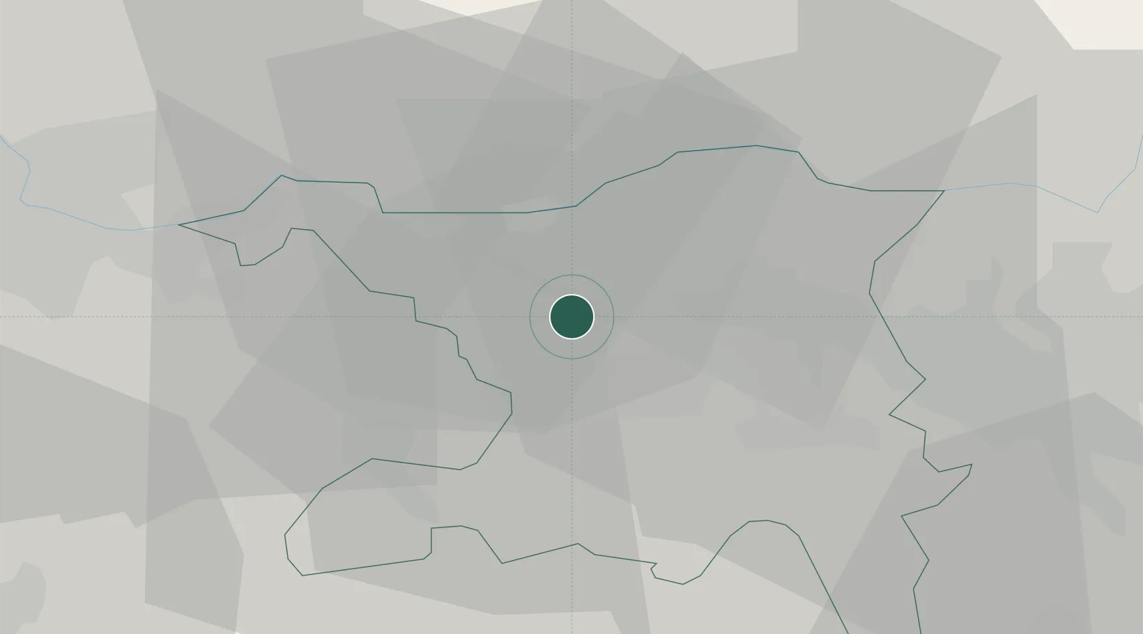
Place type
Populated place
Region
Aargau
Population
993
Time zone
Europe/Zurich
Elevation
447 m
Location
Nearby Logistics Neighbours
Cities
- 1Frick6 km
- 2Schinznach Bad7 km
- 3Möriken9 km
- 4Birr10 km
- 5Lupfig10 km
Ports
- 1Genova347 km
- 2Savona352 km
- 3Rada Di Vado357 km
- 4Chiavari - Lavagna365 km
- 5La Spezia398 km
Airports
- 1Zürich Airport35 km
- 2Dübendorf Air Base43 km
- 3EuroAirport Basel–Mulhouse–Freiburg45 km
- 4Emmen Air Base45 km
- 5Grenchen Airfield59 km
Trade Zones
- 1ZFU Mulhouse64 km
- 2ZFU Montbéliard98 km
- 3ZFU Belfort98 km
- 4ZFU Neuhof122 km
- 5ZFU Hautepierre129 km
DatabookThe Record of Consolidated Knowledge
Switzerland beyond logistics?