UN/LOCODE hub · Switzerland
CHSNB
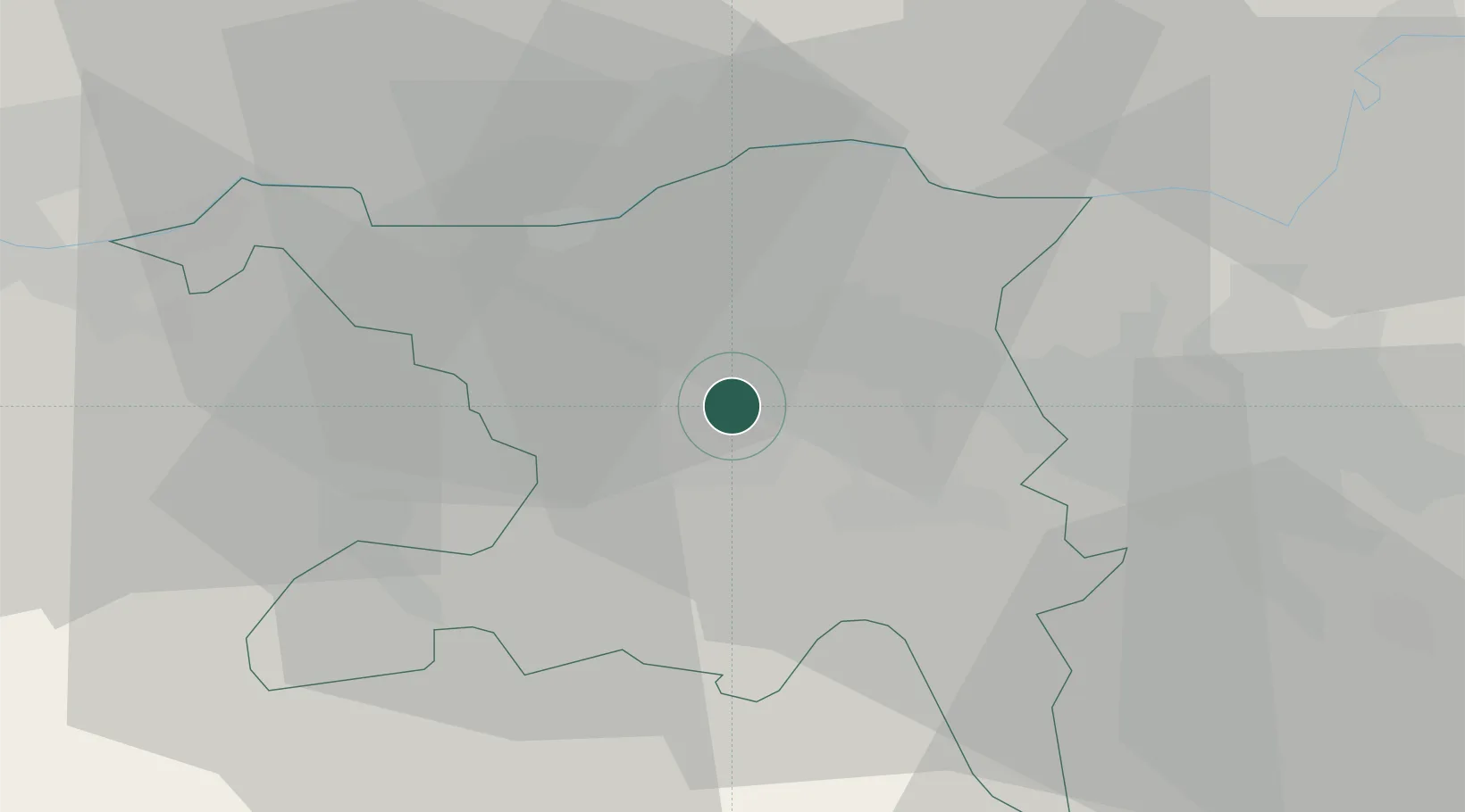
Schinznach Bad
47.4333°, 8.1667°
1,327
Population
2
Transport functions
Transport Functions
Road
Multimodal
Hub Profile
Place type
Populated place
Region
Aargau
Population
1,327
Time zone
Europe/Zurich
Elevation
360 m
Location
Nearby Logistics Neighbours
Cities
- 1Möriken2 km
- 2Birr3 km
- 3Lupfig3 km
- 4Mägenwil5 km
- 5Schafisheim6 km
Ports
- 1Genova343 km
- 2Savona348 km
- 3Rada Di Vado353 km
- 4Chiavari - Lavagna359 km
- 5La Spezia393 km
Airports
- 1Zürich Airport29 km
- 2Dübendorf Air Base36 km
- 3Emmen Air Base39 km
- 4EuroAirport Basel–Mulhouse–Freiburg52 km
- 5Alpnach Air Base55 km
Trade Zones
- 1ZFU Mulhouse72 km
- 2ZFU Montbéliard104 km
- 3ZFU Belfort105 km
- 4ZFU Neuhof127 km
- 5ZFU Hautepierre134 km
DatabookThe Record of Consolidated Knowledge
Switzerland beyond logistics?