Transport Functions
Rail
Road
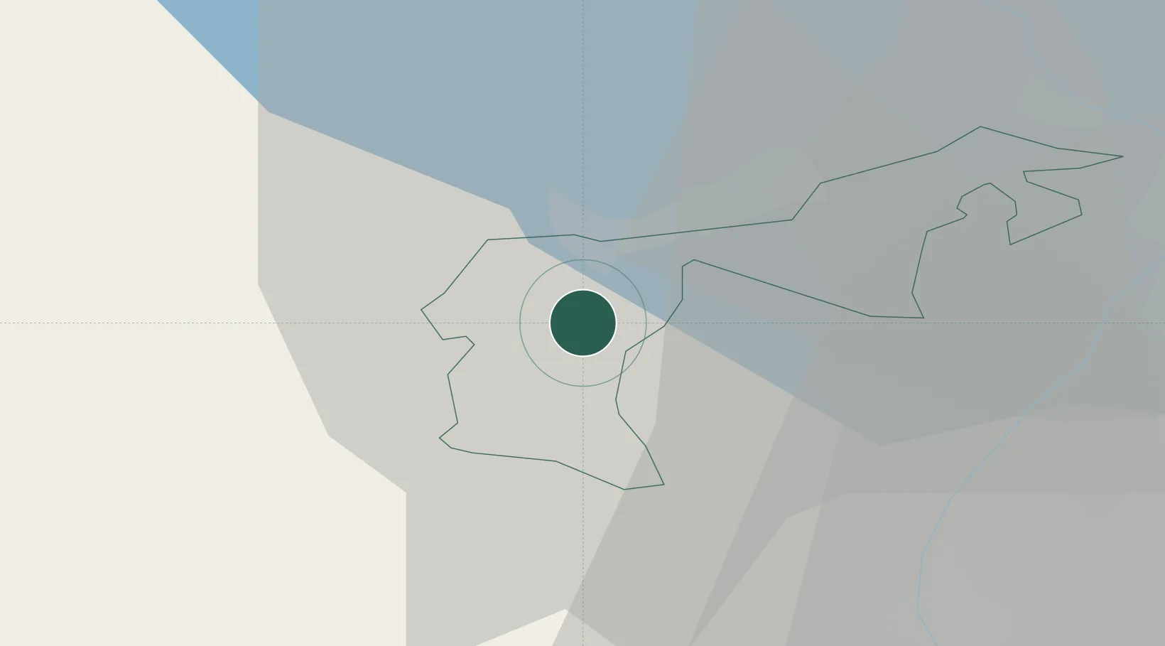
Hub Profile
Place type
Populated place
Region
Appenzell Ausserrhoden
Population
1,722
Time zone
Europe/Zurich
Elevation
823 m
Location
Nearby Logistics Neighbours
Ports
- 1Porto Di Lido-Venezia323 km
- 2Genova329 km
- 3Porto Di Chioggia330 km
- 4Chiavari - Lavagna339 km
- 5Savona343 km
Airports
Trade Zones
- 1Livigno Free Trade Zone110 km
- 2ZFU Mulhouse153 km
- 3Magazzini Generali Con Chiasso169 km
- 4ZFU Neuhof174 km
- 5ZFU Hautepierre182 km
DatabookThe Record of Consolidated Knowledge
Switzerland beyond logistics?