Transport Functions
Multimodal
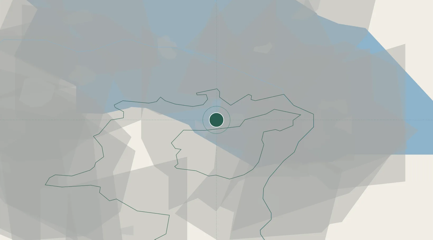
Hub Profile
Place type
Populated place
Region
Saint Gallen
Time zone
Europe/Zurich
Elevation
719 m
Location
Nearby Logistics Neighbours
Cities
- 1Wittenbach5 km
- 2Taufen7 km
- 3Mörschwil7 km
- 4Freidorf8 km
- 5Sitterdorf10 km
Ports
- 1Porto Di Lido-Venezia327 km
- 2Porto Di Chioggia334 km
- 3Genova339 km
- 4Nogaro347 km
- 5Chiavari - Lavagna348 km
Airports
Trade Zones
- 1Livigno Free Trade Zone116 km
- 2ZFU Mulhouse154 km
- 3ZFU Neuhof170 km
- 4ZFU Hautepierre178 km
- 5Magazzini Generali Con Chiasso179 km
DatabookThe Record of Consolidated Knowledge
Switzerland beyond logistics?