Transport Functions
Rail
Road
Hub Profile
Place type
Populated place
Region
Vaud
Population
680
Time zone
Europe/Zurich
Elevation
457 m
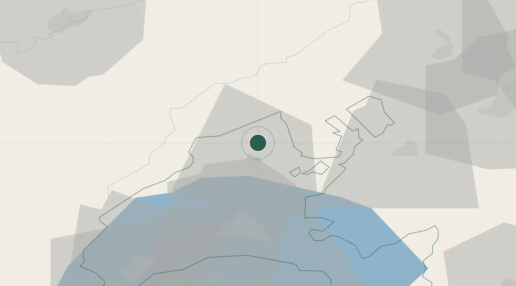
Location
Nearby Logistics Neighbours
Cities
- 1Yverdon-les-Bains6 km
- 2Chamblon8 km
- 3Vaumarcus9 km
- 4Yvonand9 km
- 5Fleurier9 km
Ports
- 1Savona315 km
- 2Rada Di Vado318 km
- 3Genova323 km
- 4Imperia345 km
- 5San Remo347 km
Airports
- 1Payerne Air Base20 km
- 2Les Eplatures Airport30 km
- 3Bern Airport65 km
- 4Grenchen Airfield70 km
- 5Montbéliard-Courcelles Airfield74 km
Trade Zones
DatabookThe Record of Consolidated Knowledge
Switzerland beyond logistics?