Transport Functions
Multimodal
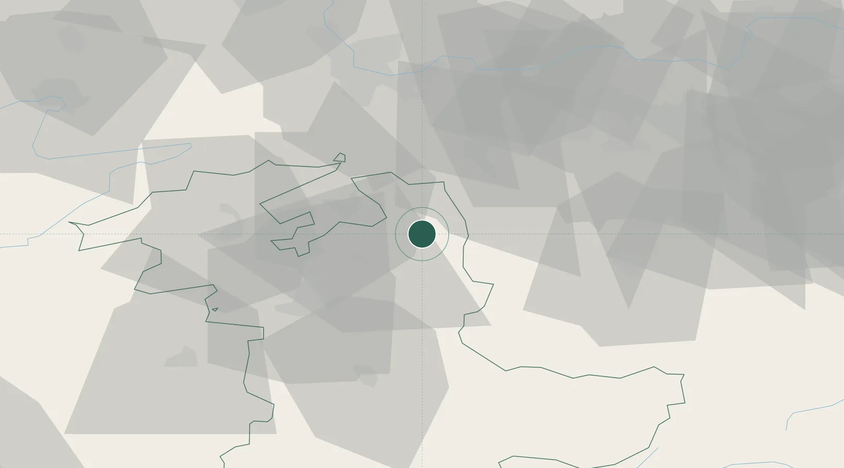
Hub Profile
Place type
Populated place
Region
Bern
Population
888
Time zone
Europe/Zurich
Elevation
586 m
Location
Nearby Logistics Neighbours
Cities
- 1Lotzwil6 km
- 2Huttwil7 km
- 3Affoltern im Emmental8 km
- 4Sumiswald11 km
- 5Zell11 km
Ports
- 1Genova317 km
- 2Savona318 km
- 3Rada Di Vado323 km
- 4Chiavari - Lavagna337 km
- 5Imperia362 km
Airports
- 1Grenchen Airfield27 km
- 2Bern Airport32 km
- 3Emmen Air Base41 km
- 4Alpnach Air Base45 km
- 5EuroAirport Basel–Mulhouse–Freiburg55 km
Trade Zones
- 1ZFU Mulhouse76 km
- 2ZFU Montbéliard85 km
- 3ZFU Belfort92 km
- 4PESA - Port-Franc et Entrepôts de Lausanne-Chavornay SA103 km
- 5Port Franc Vevey118 km
DatabookThe Record of Consolidated Knowledge
Switzerland beyond logistics?