Transport Functions
Rail
Road
Hub Profile
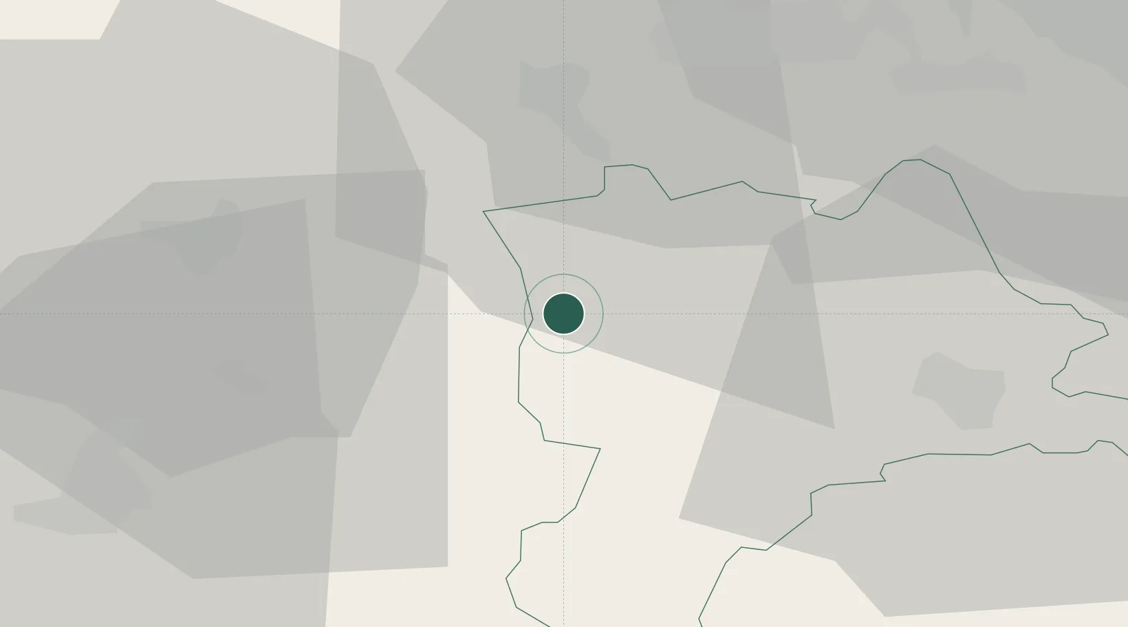
Place type
Populated place
Region
Lucerne
Population
1,943
Time zone
Europe/Zurich
Elevation
589 m
Location
Nearby Logistics Neighbours
Ports
- 1Genova314 km
- 2Savona317 km
- 3Rada Di Vado322 km
- 4Chiavari - Lavagna333 km
- 5Imperia362 km
Airports
- 1Emmen Air Base30 km
- 2Alpnach Air Base35 km
- 3Grenchen Airfield38 km
- 4Bern Airport40 km
- 5Zürich Airport60 km
Trade Zones
- 1ZFU Mulhouse81 km
- 2ZFU Montbéliard95 km
- 3ZFU Belfort101 km
- 4PESA - Port-Franc et Entrepôts de Lausanne-Chavornay SA113 km
- 5Port Franc Vevey127 km
DatabookThe Record of Consolidated Knowledge
Switzerland beyond logistics?