Transport Functions
Road
Multimodal
Hub Profile
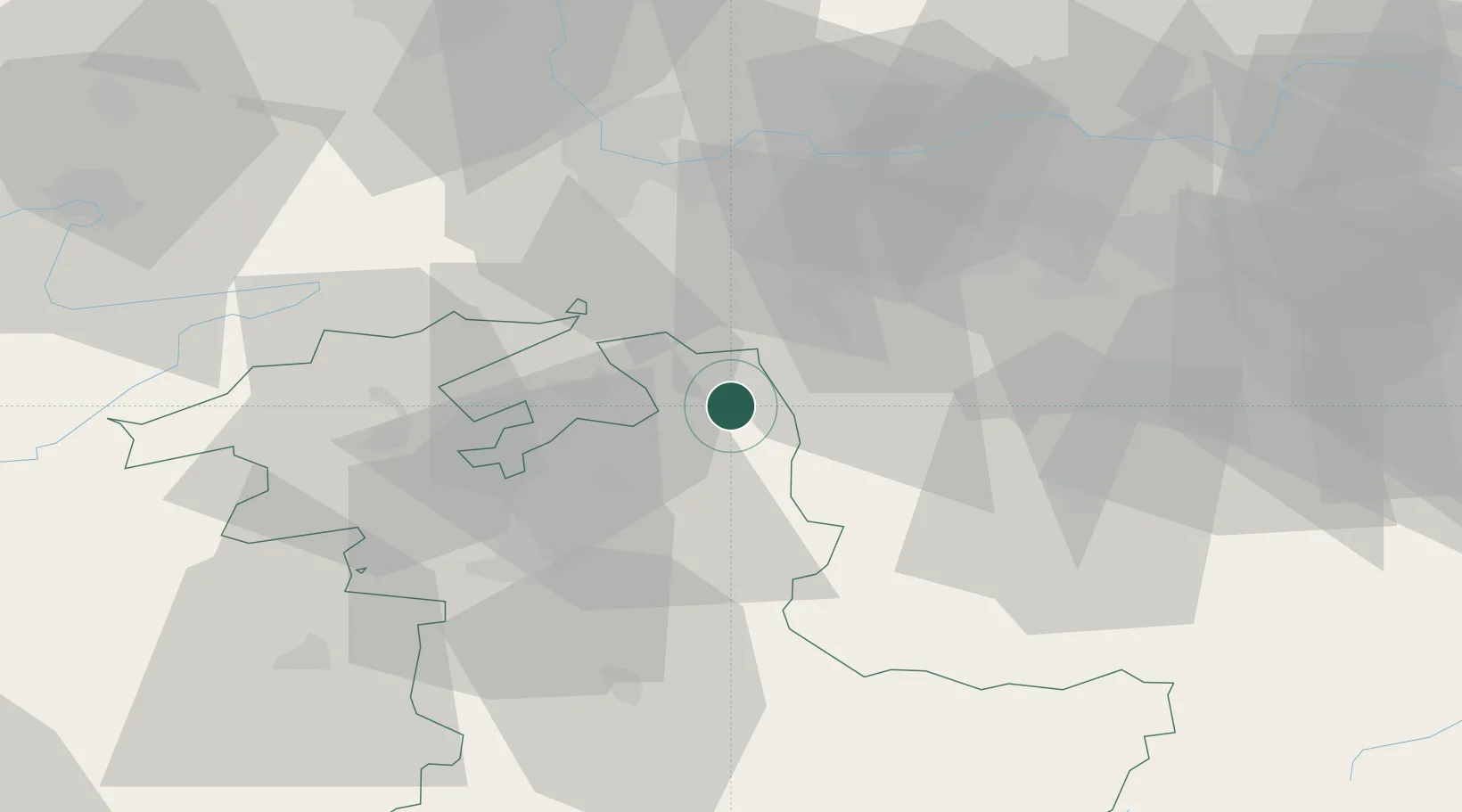
Place type
Populated place
Region
Bern
Population
2,391
Time zone
Europe/Zurich
Elevation
500 m
Location
Nearby Logistics Neighbours
Cities
- 1Ursenbach6 km
- 2Roggwil6 km
- 3Wynau8 km
- 4Huttwil9 km
- 5Kestenholz10 km
Ports
- 1Genova322 km
- 2Savona324 km
- 3Rada Di Vado329 km
- 4Chiavari - Lavagna342 km
- 5Imperia368 km
Airports
- 1Grenchen Airfield28 km
- 2Bern Airport37 km
- 3Emmen Air Base41 km
- 4Alpnach Air Base46 km
- 5EuroAirport Basel–Mulhouse–Freiburg50 km
Trade Zones
- 1ZFU Mulhouse71 km
- 2ZFU Montbéliard83 km
- 3ZFU Belfort90 km
- 4PESA - Port-Franc et Entrepôts de Lausanne-Chavornay SA107 km
- 5Port Franc Vevey122 km
DatabookThe Record of Consolidated Knowledge
Switzerland beyond logistics?