Transport Functions
Rail
Road
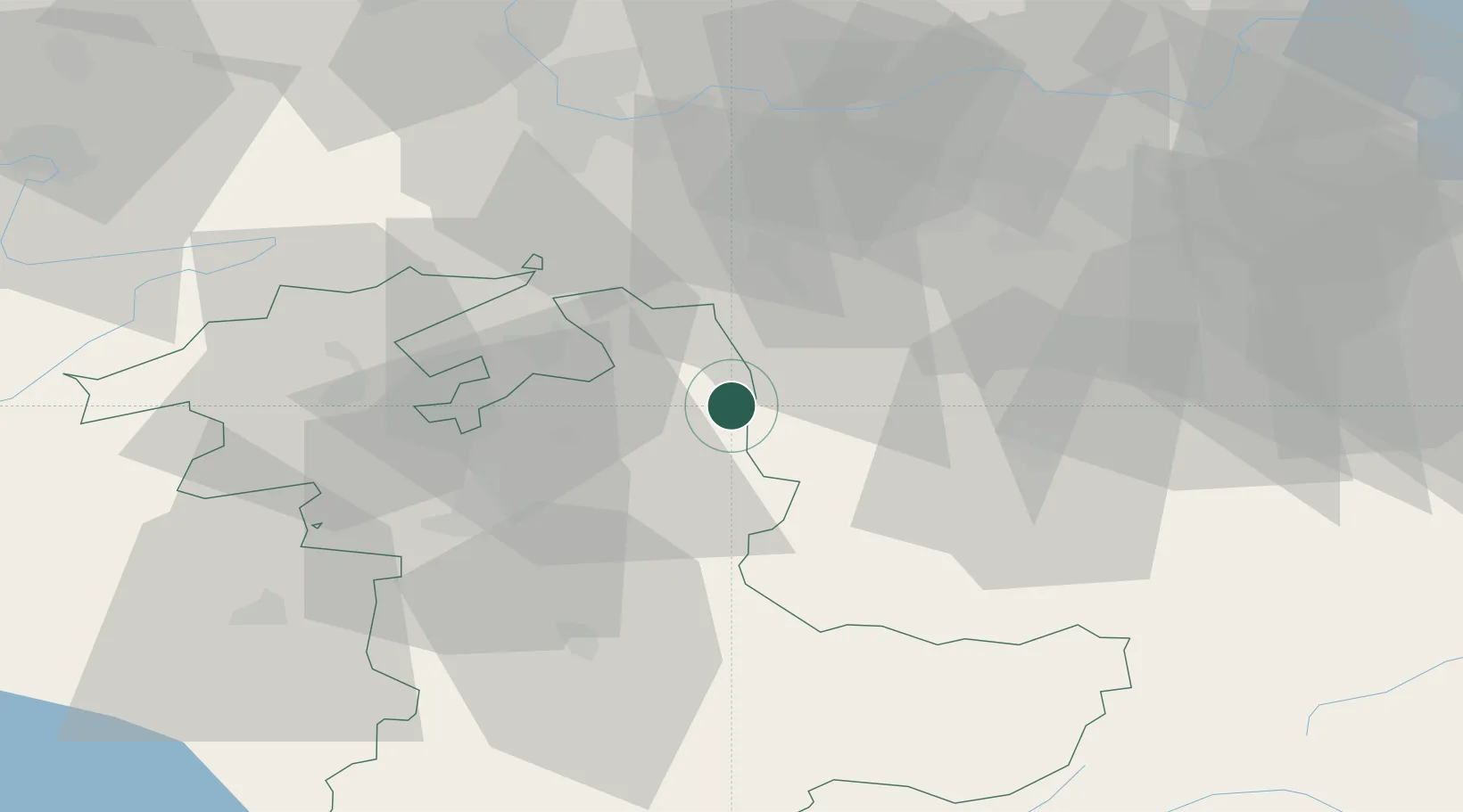
Hub Profile
Place type
Populated place
Region
Bern
Population
4,643
Time zone
Europe/Zurich
Elevation
669 m
Location
Nearby Logistics Neighbours
Cities
- 1Zell5 km
- 2Ursenbach7 km
- 3Lotzwil9 km
- 4Affoltern im Emmental10 km
- 5Alberswil12 km
Ports
- 1Genova314 km
- 2Savona315 km
- 3Rada Di Vado321 km
- 4Chiavari - Lavagna333 km
- 5Imperia360 km
Airports
- 1Grenchen Airfield34 km
- 2Emmen Air Base35 km
- 3Bern Airport35 km
- 4Alpnach Air Base38 km
- 5EuroAirport Basel–Mulhouse–Freiburg59 km
Trade Zones
- 1ZFU Mulhouse80 km
- 2ZFU Montbéliard91 km
- 3ZFU Belfort98 km
- 4PESA - Port-Franc et Entrepôts de Lausanne-Chavornay SA108 km
- 5Port Franc Vevey122 km
DatabookThe Record of Consolidated Knowledge
Switzerland beyond logistics?