Transport Functions
Rail
Road
Hub Profile
Place type
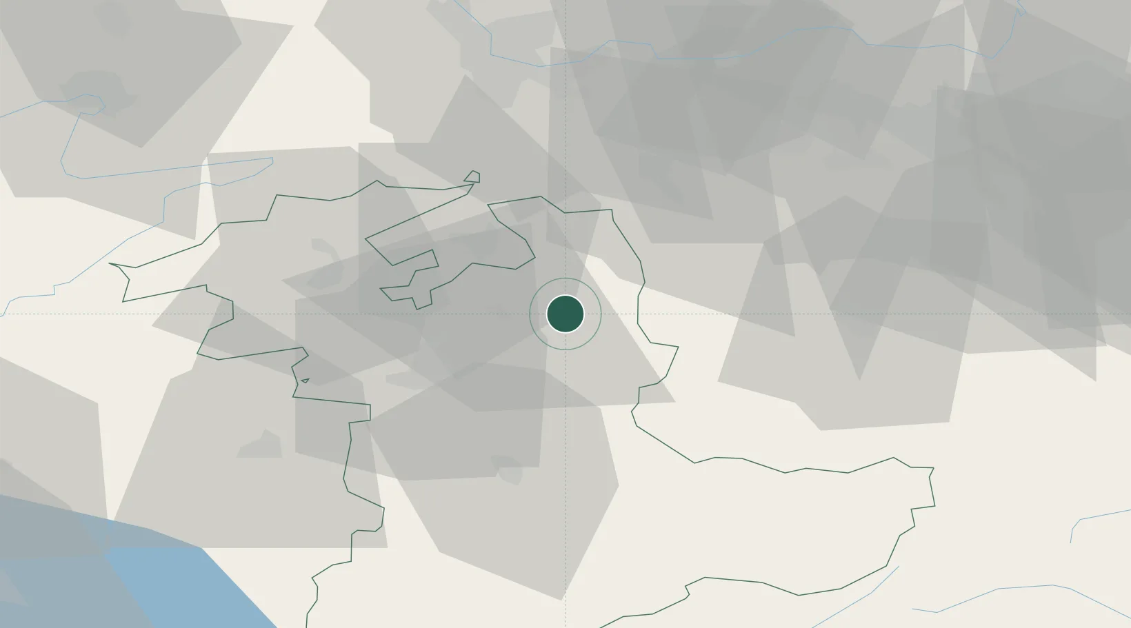
Populated place
Region
Bern
Time zone
Europe/Zurich
Elevation
795 m
Location
Nearby Logistics Neighbours
Cities
- 1Sumiswald4 km
- 2Lützelflüh7 km
- 3Ursenbach8 km
- 4Kirchlindach8 km
- 5Hofstatt9 km
Ports
- 1Genova311 km
- 2Savona312 km
- 3Rada Di Vado317 km
- 4Chiavari - Lavagna331 km
- 5Imperia355 km
Airports
- 1Bern Airport25 km
- 2Grenchen Airfield27 km
- 3Emmen Air Base43 km
- 4Alpnach Air Base44 km
- 5EuroAirport Basel–Mulhouse–Freiburg62 km
Trade Zones
- 1ZFU Mulhouse82 km
- 2ZFU Montbéliard86 km
- 3ZFU Belfort95 km
- 4PESA - Port-Franc et Entrepôts de Lausanne-Chavornay SA97 km
- 5Port Franc Vevey111 km
DatabookThe Record of Consolidated Knowledge
Switzerland beyond logistics?